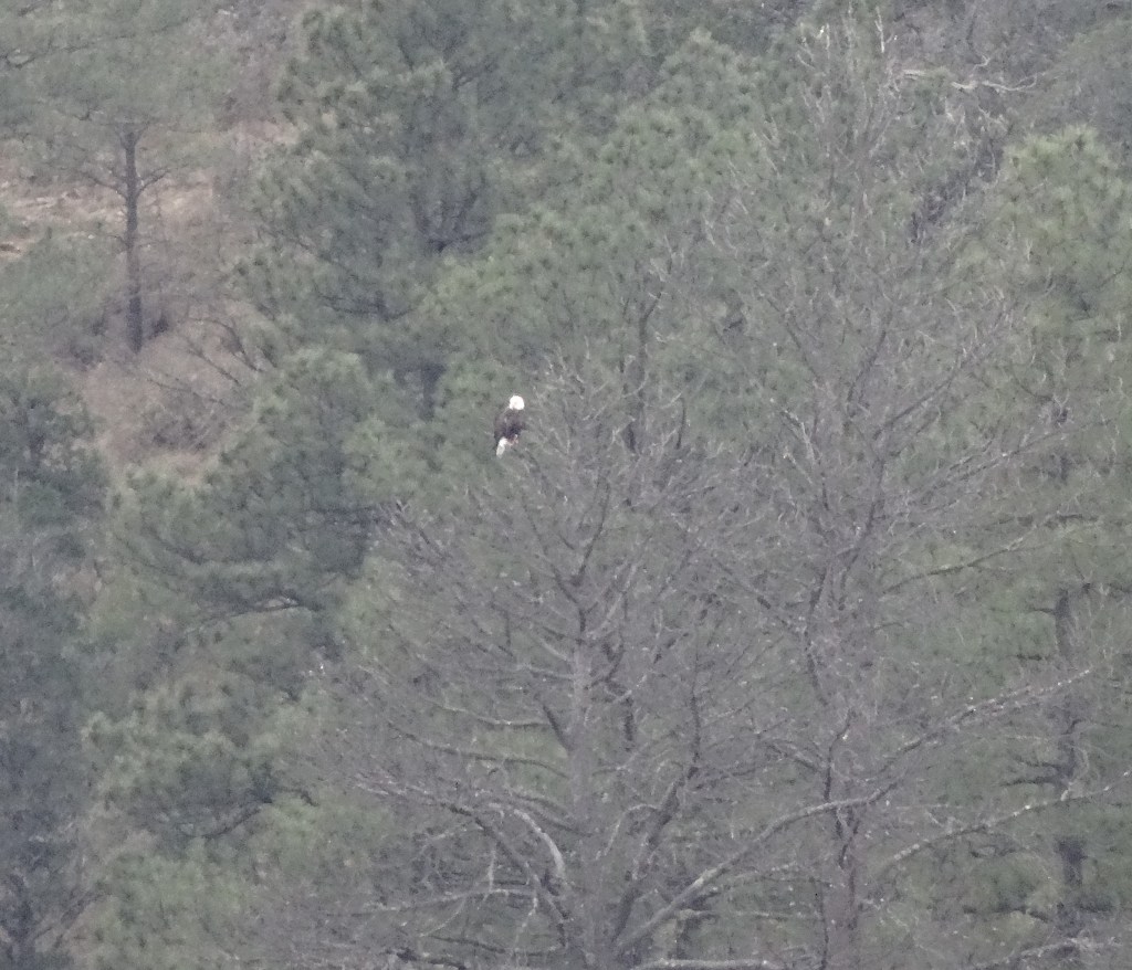
Although now in southcentral New Mexico, we were still in Apache territory, the Mescalero Apache. (see Gila National Monument for info on the Chiricahua Apache.)
The Mescalero Apache thrive in their native “heartland” on a 463,000 acre reservation that includes their four sacred mountains… Sierra Blanca, Guadalupe, Three Sisters, and Oscura Peak.
Sierra Blanca Mountain, Mescalero Apache Reservation
The reservation, which includes other Apache bands, is governed by tribal code, a constitution, and under the leadership of a Tribal Council. Their economy relies on tourism and is supported by an abundance of outdoor activities—fishing, hunting, camping, golf, snow skiing—and the indoor activity of gambling.
It’s the perfect playground for Texans, yet this was our first visit.
Inn of the Mountain Gods
The Mescalero’s Inn of the Mountain Gods Resort & Casino is their mountain jewel, and it was a haven for this road-weary traveler.
Inn of the Mountain Gods Resort & Casino
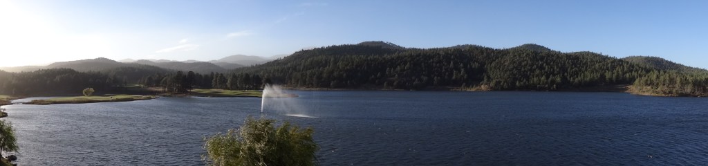
Nestled in a peaceful, forested valley overlooking serene, trout-filled Mescalero Lake, Inn of the Mountain Gods is most appropriately named.
View from inside Inn of the Mountain Gods
Our first morning coincided with the first arctic front of the season. Thirty-five mph winds and frigid temperatures kept our bikes stowed and us mostly inside…
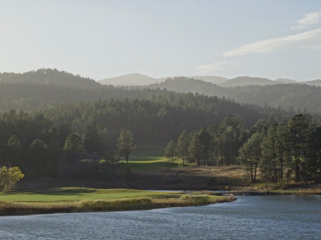
Trey bundled up and ventured out for an icy-windy round of golf at their Championship Golf Course, his last of four golf excursions.
Championship Golf Course, Inn of the Mountain Gods, NM
He said the trees protected him from the wind somewhat, but still made the challenging course even more difficult.
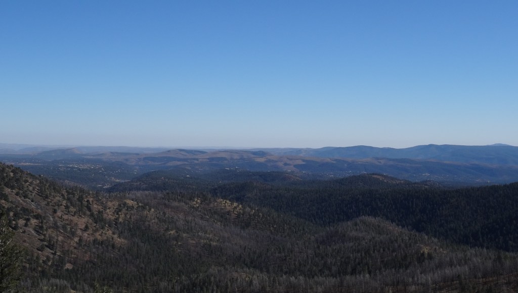
Ski Apache
Ski Apache
From Hwy 48 on the outskirts of Ruidoso, Hwy 532 climbs 12 ½ miles to Ski Apache.
Windy Point on Hwy 532 was very windy!
Nine of those miles switch up, back, and along mountain ledges with gorgeous vistas.
The ski area was weeks away from opening, so we had the mountain top to ourselves.
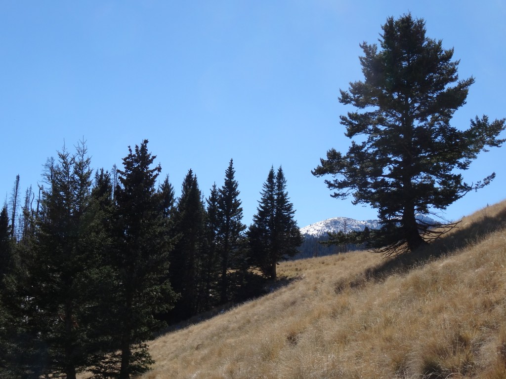
Despite not having water nor proper jackets, we were lured onto a hiking trail just above the parking area.
Hiking path at Ski Apache
We made it about a mile in before heading back, but not before appreciating the natural beauty and solitude.
View from base of Ski Apache, New Mexico
Food
On Wednesday evening, we drove into nearby Ruidoso for dinner without considering that mid-November is a downtime for the ski city. Many restaurants weren’t open or had closed early. After driving around a bit we noticed the Caliente Grill appeared to be open. We were the first of a few diners that evening, which gave us the opportunity to visit with the restaurant’s friendly owners. We chatted about wine and Austin… they were heading there the following week. Overall, the evening, food, service, and company were excellent.
Several dining options are offered at Inn of the Mountain Gods. We particularly enjoyed Wendell’s Steak & Seafood for a reasonable and tasty breakfast and lunch. For dinner, they go more upscale… food was amazing, just pricey.
Casino
Trey spent some of his evenings at the Casino’s blackjack tables. He experienced ups and downs, but overall left with an extra $200 in his pocket.
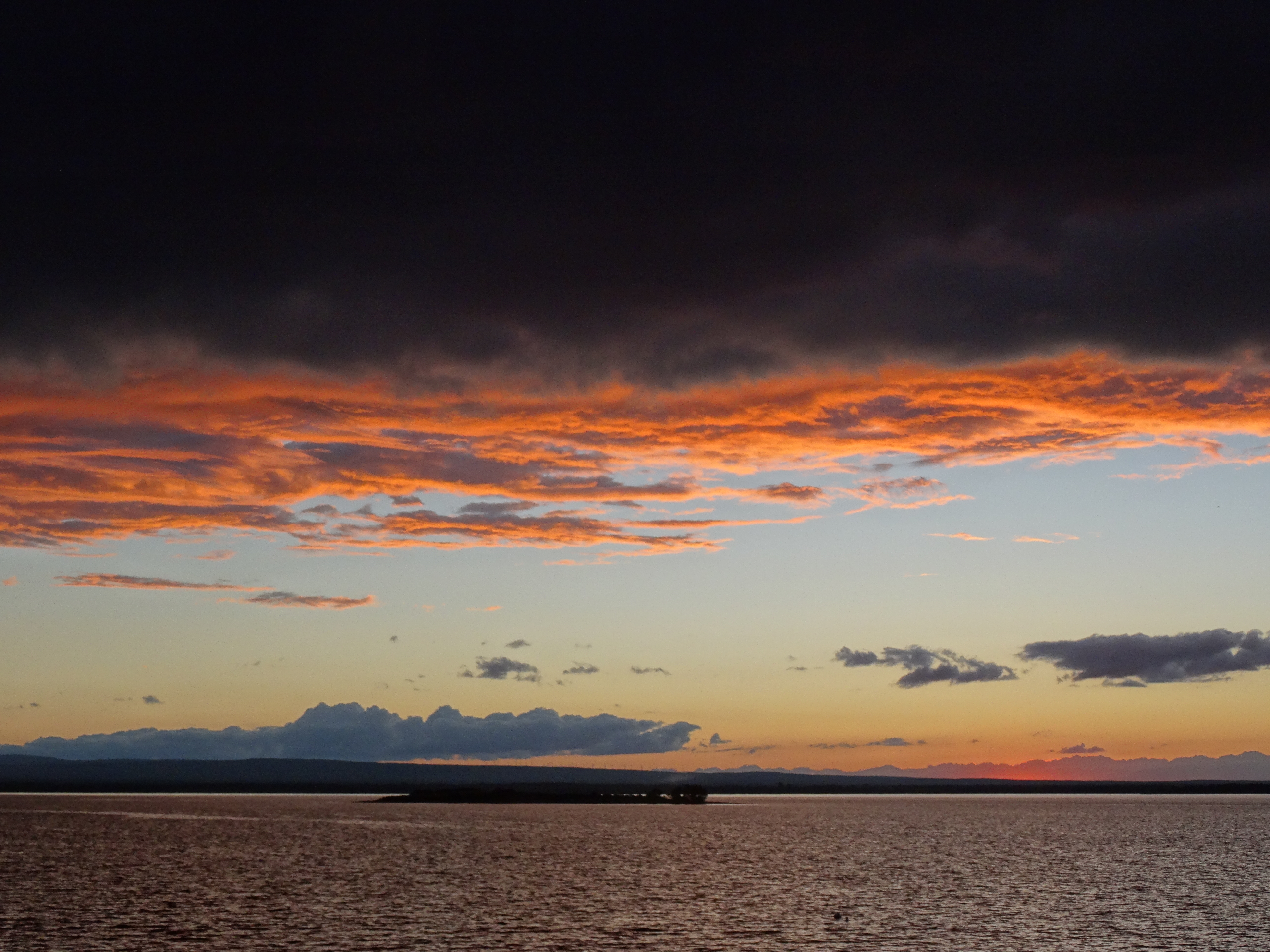
Sunset across Lake Mescalero, Inn of the Mountain Gods, NM
With a casino, first-rate restaurants, indoor pool, workout room and spa, the Inn of the Mountain Gods was ideal for being stuck indoors.
It wasn’t a difficult decision, or even a disappointment, to delay our departure a day… the winter blast would make it impossible to safely climb Guadalupe Peak, our final stop before home.
Always looking to take advantage of good deals on accommodations, we were lured into Coachella Valley by an email received a month prior. The promotional offer was from a lavish golf resort in the town of Rancho Mirage: four nights in a luxury villa at an on-budget rate if we listened to their one-hour sales pitch.
Source: Westin Mission Hills Resort
Situated between the desert havens of Palm Springs and Palm Desert, Rancho Mirage was not on our bucket list, but Joshua Tree National Park was and lies 40 miles away. No brainer!
For the first time since Seattle (almost two months back), we had a kitchen.
Breakfast One
Breakfast Two
Cooking dinner followed by lively conversations with other guests in the hot tub became our nightly routine.
Our stay in Rancho Mirage was an extravagant gift that we appreciated fully…
Trey played a round of golf while I spent the afternoon at the spa.
Gary Player Signature Course – Source: Westin Mission Hills
We basked fully in luxury’s lap while we could.
Mt. San Jacinto
The two excursions we made outside of the resort was to drive through old school celebrities’ neighborhoods north of downtown Palm Springs, and to travel up the side of San Jacinto Mountain via the Palm Springs Aerial Tramway. (Trey also spent an evening at a local casino, but doesn’t want to talk about it.)
The rotating tram travels 2.5 miles up the mountain, dropping you off at the edge of a massive wilderness.
View from Palm Springs Aerial Tramway
The views across the valley to the Little San Bernardino Mountains are stunning.
View from atop Palm Springs Aerial Tramway
Along with restaurants, a gift shop and other amenities, the top offers access to loads of hiking trails. We hiked only about a mile down from the mountain station because it was late in the afternoon (tram ticket prices are lower), quite chilly, and the climb back up was steep. Yet, we ventured far enough to sense the wild vastness ahead. We hoped to see wildlife, but I think the cold and late hour kept them away.
If we had planned better, we would have gotten an early start and hiked to San Jacinto Peak, which is a 5.5 mile one-way trail that connects up with the Pacific Coast Trail. But alas, darkness was approaching so we dangled back down Mt. San Jacinto and drove to Rancho Mirage where we spent the remaining evening plotting our course for the next two weeks.
Lizard Outside Our Villa
Joshua Tree National Park
We were heading eastward toward Texas, to our home. Joshua Tree was on the way, so we waited until we were leaving California to visit it.
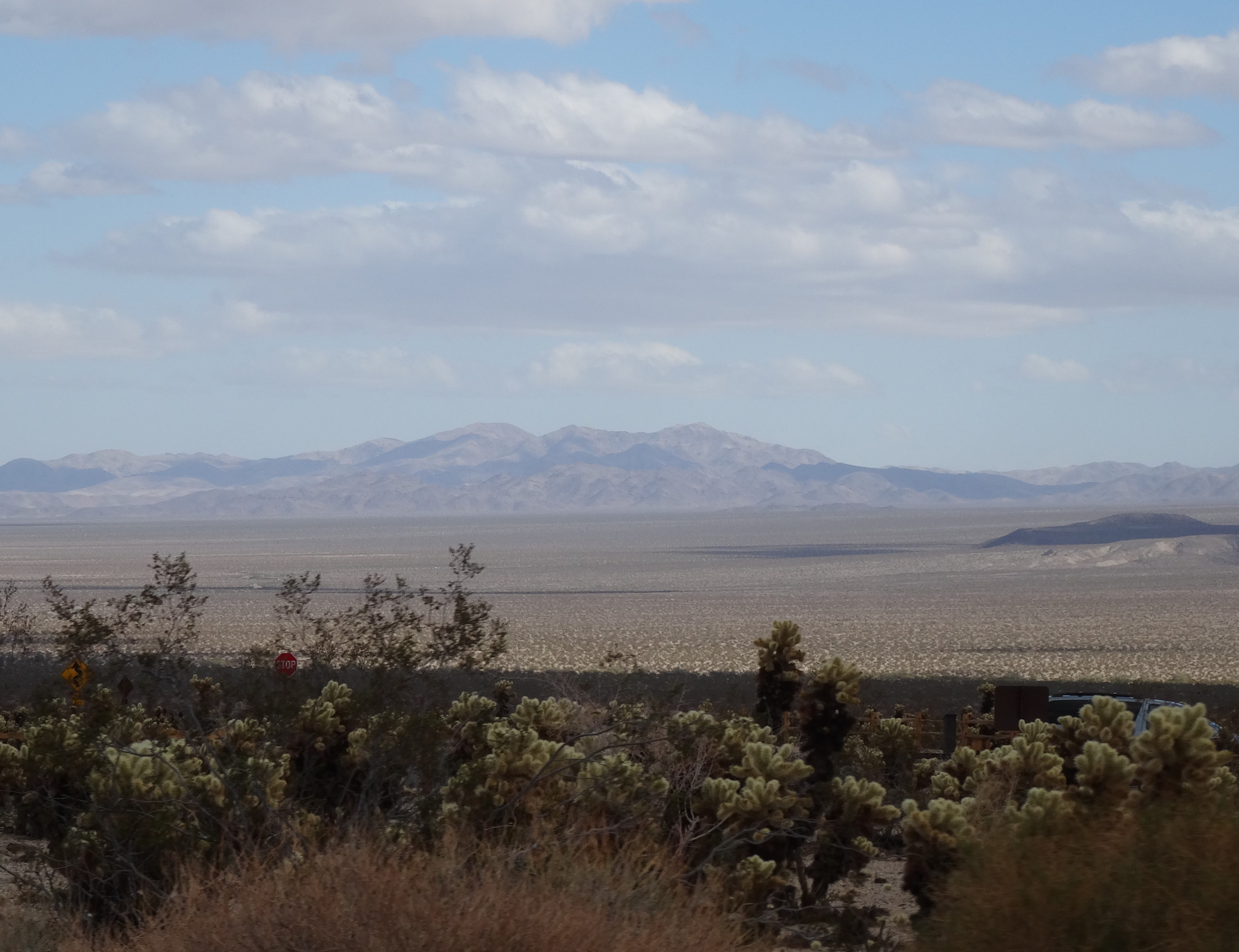
Best I can tell, the park’s 794,000 acres encompass five mountain ranges (Coxcomb, Eagle, Cottonwood, Hexie, & Little San Bernardino) and two deserts (Mojave & Colorado).
We entered from the south off Interstate 10 and through the Cottonwood Mountains.
Pinto Basin, Joshua Tree Nat’l Park
A ranger at the Cottonwood Visitor Center helped us to strategically plan our time. He suggested continuing our drive north through the heart of the park and hiking the Barker Dam Loop Trail.
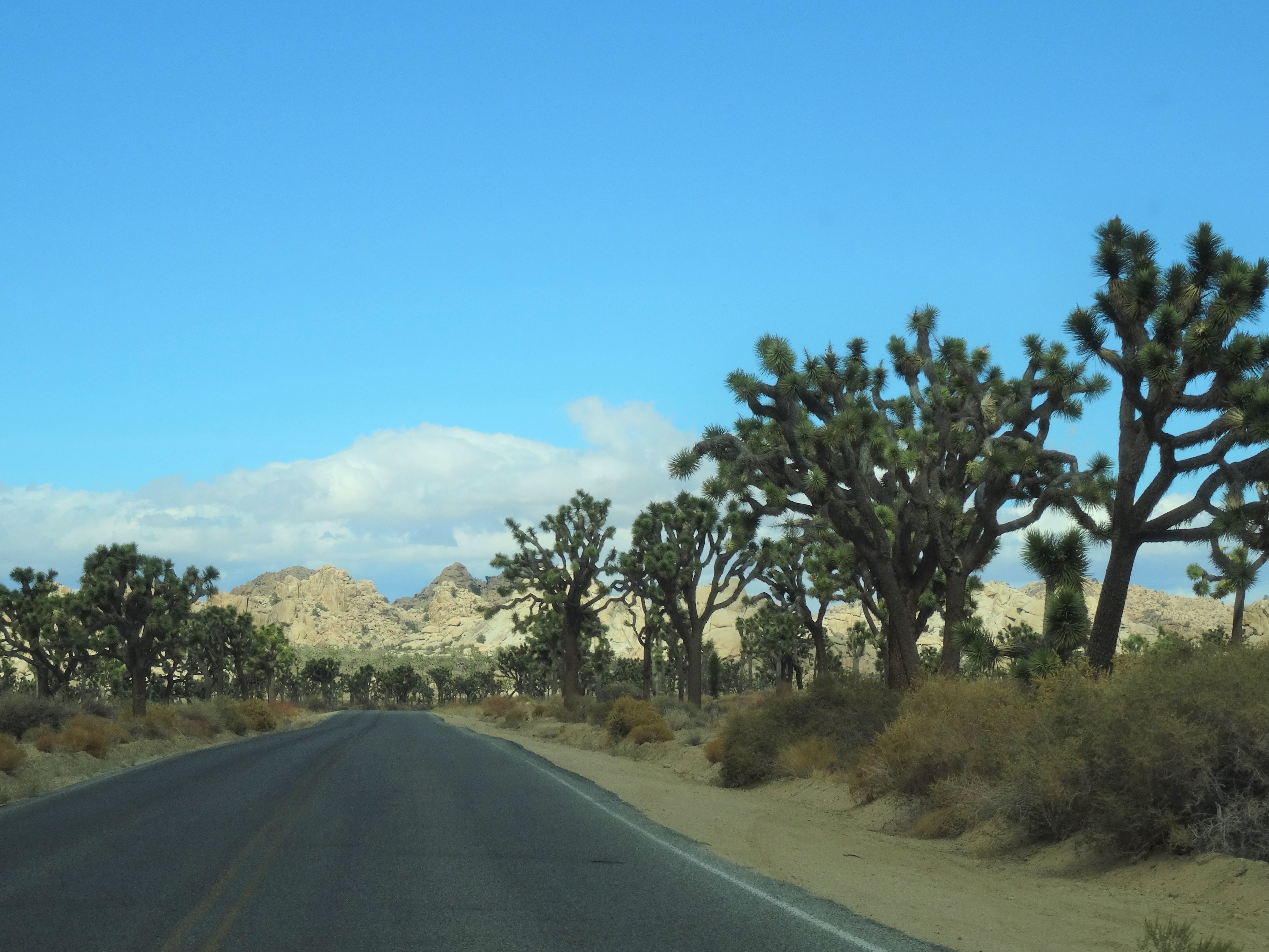
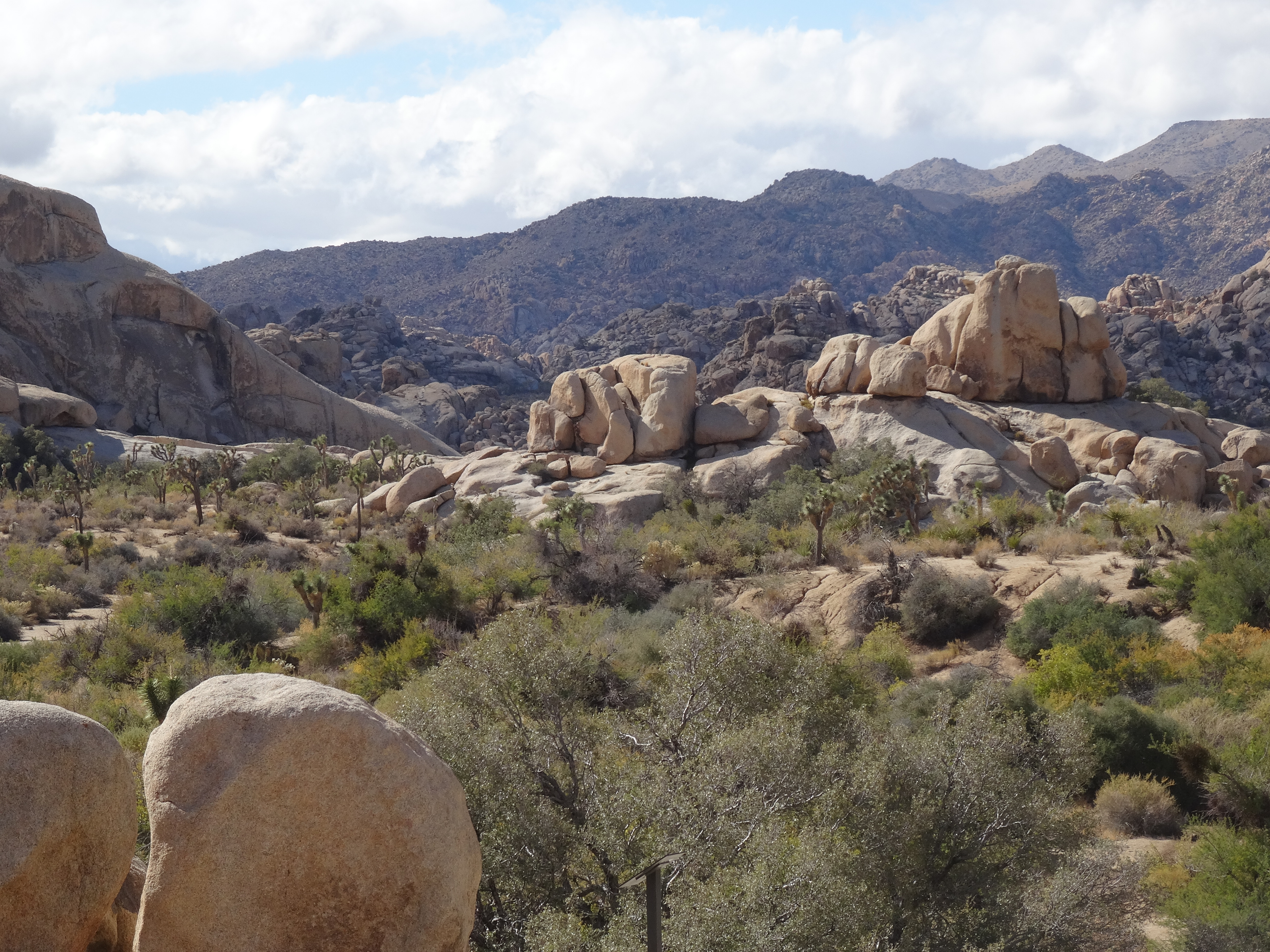
The drive alone is a great way to experience the joshua trees… they’re everywhere!
Cholla Cactus, Joshua Tree Nat;l Park
Scattered among them are mojave yuccas and cholla cacti.
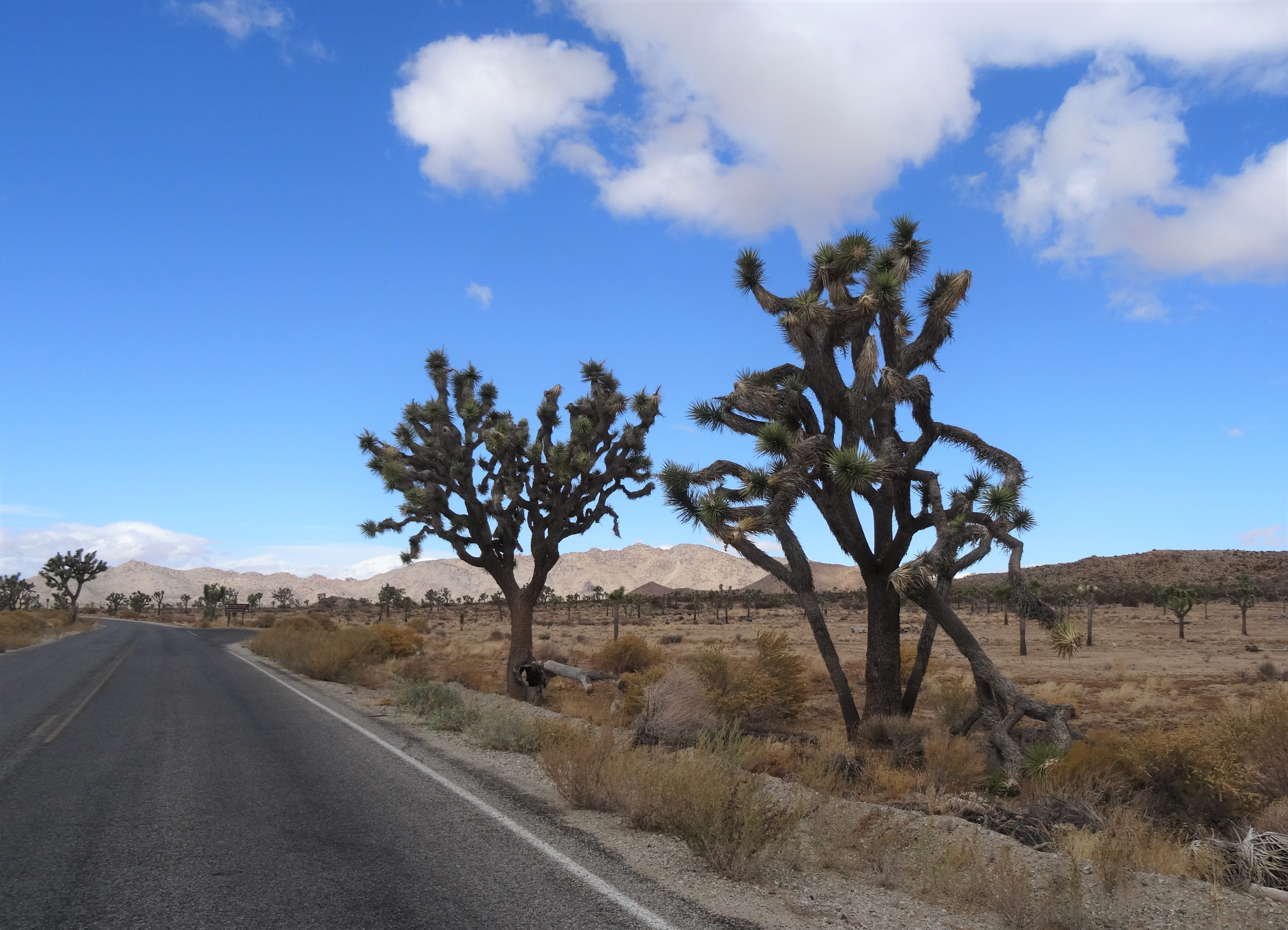
The Joshua Tree cactus gets its branches through a unique process. It grows straight upwards until it blooms…. no blossoms, no branches. Once it blooms and the blossoms die and fall off, a new branch will leaf out from residual scar and grows until it blooms and restarts the process.
Mature Joshua Tree, Joshua Tree NP CA
On the drive to Barker Dam, there are several places to pull over and enjoy the scenery.
Skull Rock, Joshua Tree National Park
We particularly enjoyed the Cholla Cactus Garden…
Cholla Cactus Garden, Joshua Tree Nat’l Park
and the “jumbo rocks” along Park Boulevard.
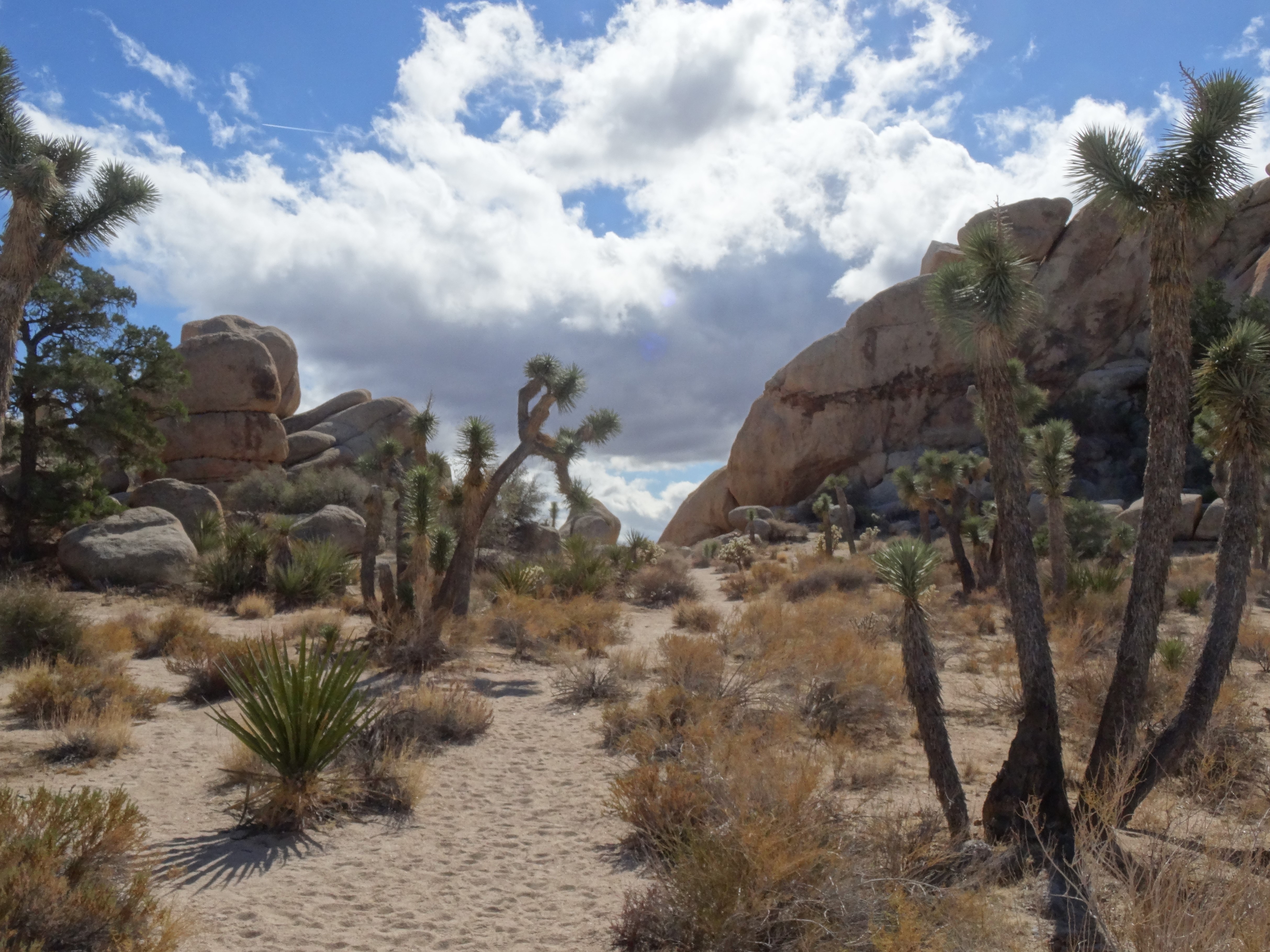
The Barker Dam loop is perfect if you’re crunched for time.
Trey on the Barker Dam Loop Trail
It’s just over a mile long, and wends through giant rock formations on a pathway lined with impressive and playful joshua trees.
Although our time was limited, we gained an appreciation for, and were inspired by, the plant-life, mountains, and deserts that make up Joshua Tree National Park.
Our first evening in New England was spent in the village of Jackson, New Hampshire. We chose Jackson solely for its close proximity to Mt. Washington, the highest peak in the White Mountains and all of New England. However, Jackson also provided us with an idyllic small town New England experience.
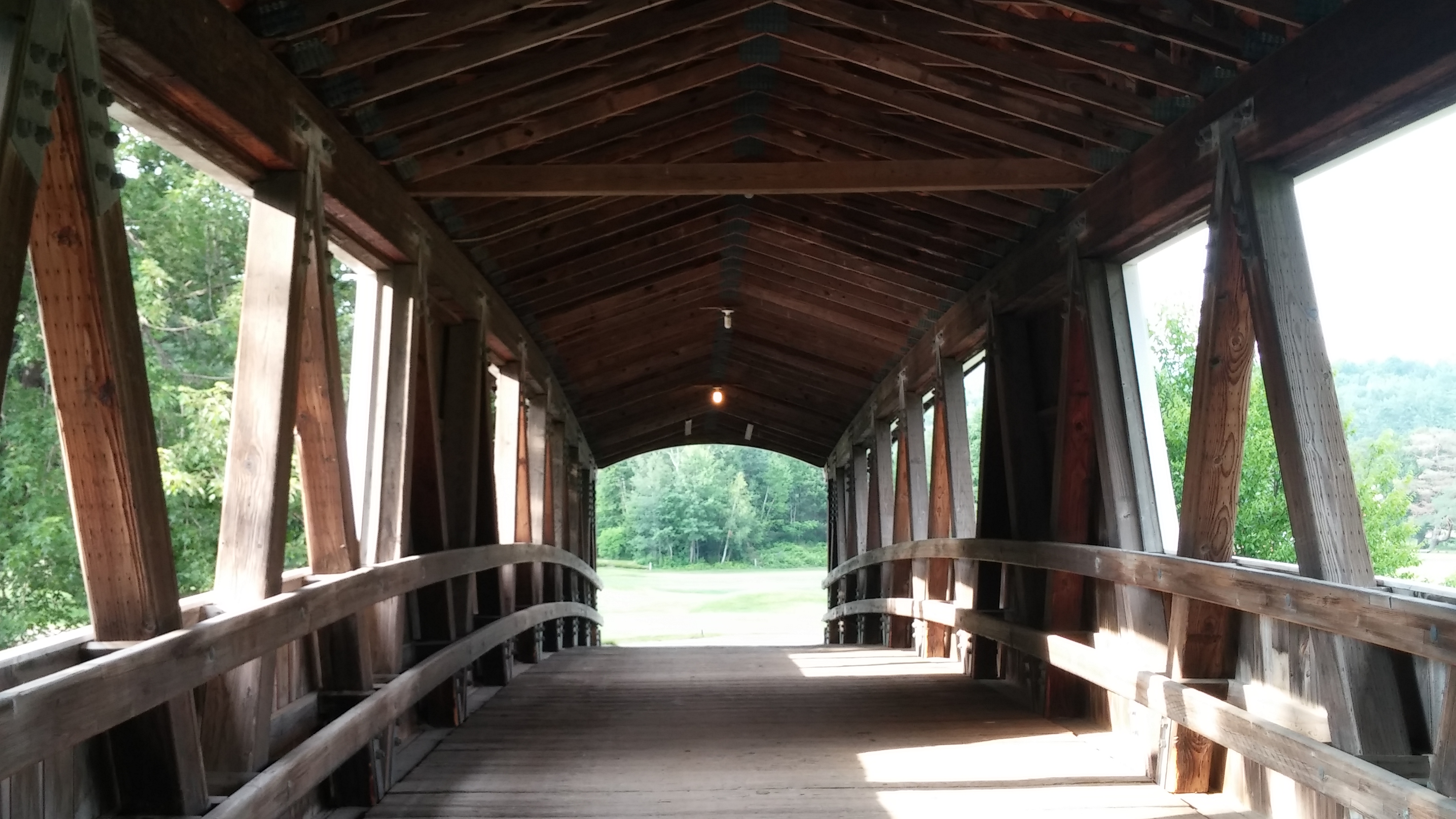
Covered Bridge, Jackson, NH
We stayed in the middle of town at the Historic Wildcat Inn & Tavern – a very well maintained old ski lodge that includes a long wooden bar, great restaurant and beautiful courtyard. The inn is family run and reservations are handled by phone and logged in a large hotel register.
We arrived well before sunset allowing time for a leisurely stroll around the quiet village after settling into our room.
Ellis River, Jackson, NH
Following a path along the Ellis River, we came across a golf course and decided to return via the cart path since it was in the evening and appeared that no one was playing between us and the club house.
We found the club house to be open and Trey was glad he could inquire about green fees and club rentals. The gentleman closing up set Trey up with a great deal, an early morning tee-time, and also gave him a handful of good condition golf balls from those found around the course.
Wentworth Golf Club, Jackson, NH
Jackson seemed to mostly consist of lodges, inns and beds & breakfasts. The village did not have many restaurant options and other businesses seemed to close with the sun, making our decision for dinner an easy one. Luckily, we had inquired about dinner options early enough that we were able to make reservations at our inn’s restaurant – they require reservations for meal planning purposes. Plus, we pleasantly discovered that their great food makes them a popular choice for locals.
Salmon Salad, Wildcat Inn and Tavern
We couldn’t resist trying the locals’ favorite French Onion Soup
We rose early the next morning and enjoyed breakfast together at Sarah’s Yesterday Restaurant before Trey headed to play golf at the Wentworth Golf Club.
After soaking up some sun and reading in the inn’s courtyard, I decided to catch up on laundry. The nearest Laundromat was ten miles away in Conway, but was a nice drive and timing was perfect for me to wash, dry and fold and get back to Jackson just in time to meet Trey for lunch at the club house.
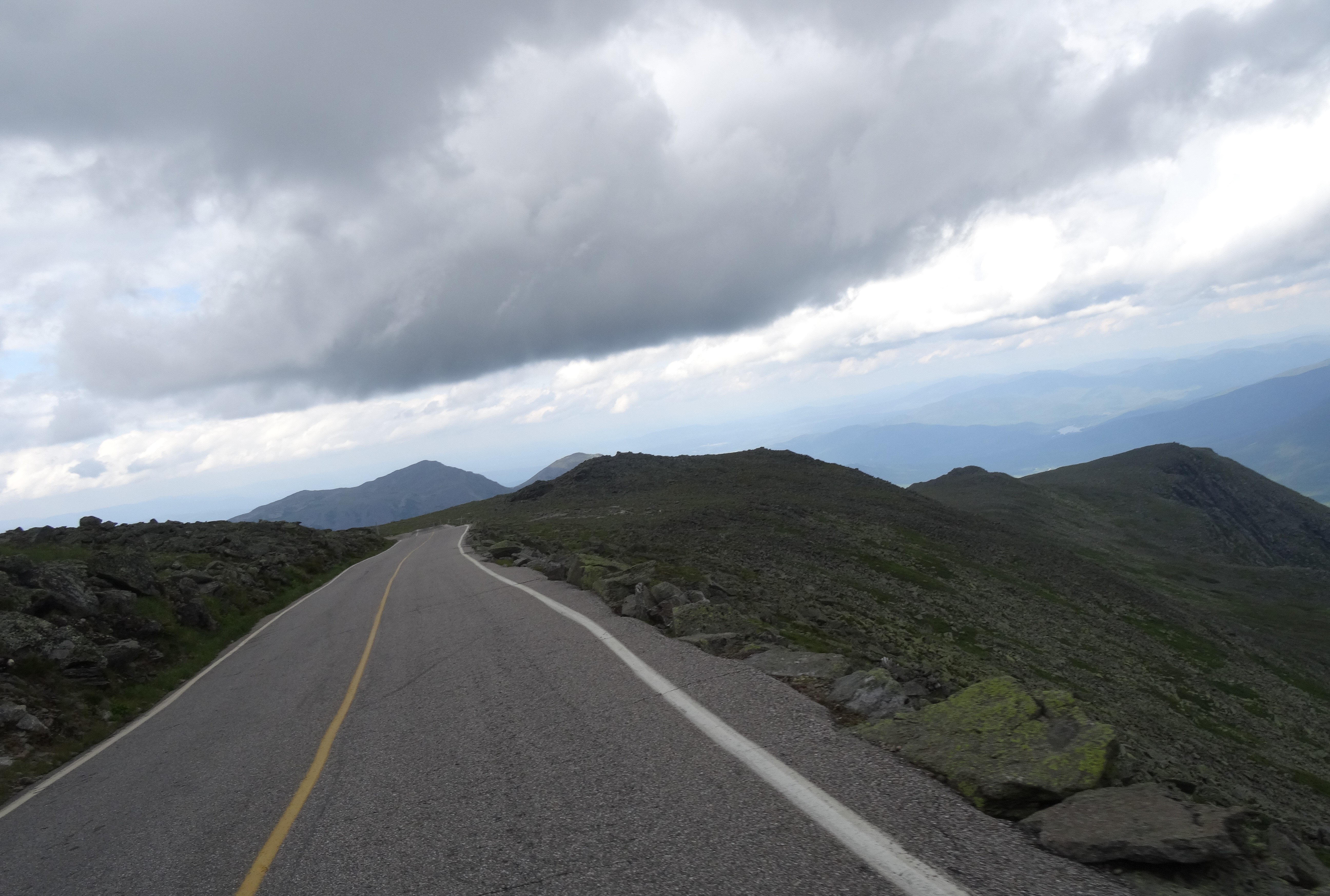
After checking out of the Wildcat Inn we backtracked eleven miles to the Mt. Washington Auto Road – an 8-mile road that slowly winds up Mt. Washington to its 6,288 foot summit.
Mt. Washington’s Auto Road
The auto road has always been privately owned and the fee to access it is not cheap at $28 per vehicle/driver, and an additional $8 for each passenger. The road was completed in the 1850’s, so obviously was not always referred to as an “auto-road.”
At the base we were instructed to keep our car in second gear and warned of the potential for high cross winds.
We knew of the dangerous winds as that is the primary draw to the mountain — the highest recorded earth surface wind gust was measured on the summit of Mt. Washington at 231 mph in the 1930’s. This fact had me a bit apprehensive, particularly when we ascended above the tree line and the road went from tree-lined pavement to a mix of dirt and gravel with steep drop-offs.
View of the Mt. Washington Auto from mile post 7
The ominous clouds to the west only added to my nervousness.
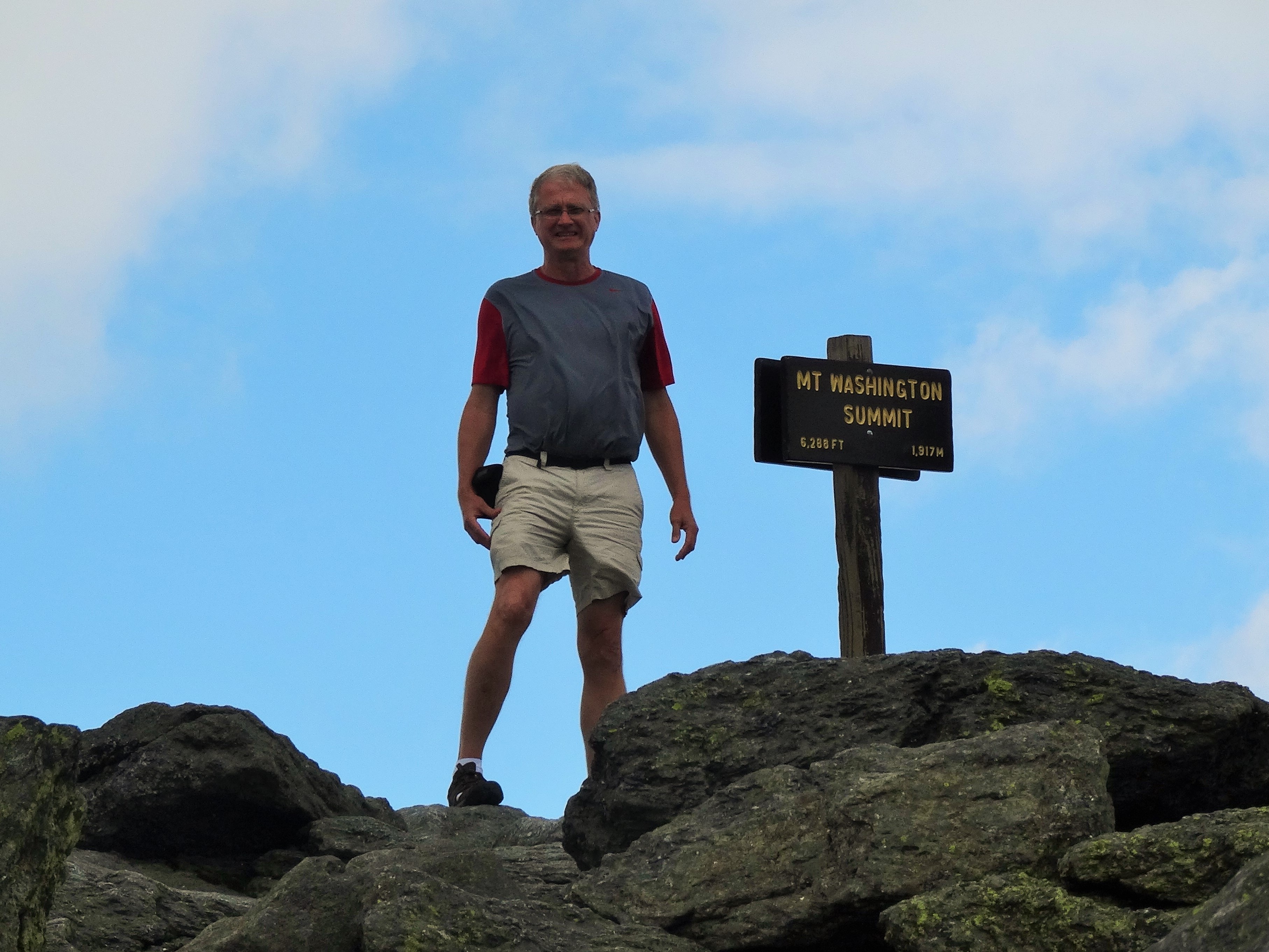
On Top of Mt Washington
However, once we arrived safely at the summit, my heart rate returned to normal and I truly enjoyed the majestic panoramas surrounding us.
A weather research center continues to operate at the summit, along with an observatory and museum. We also found a restored hotel and a cog railway at the summit that was completed in 1869 to provide travelers quicker access to the summit before the invention of automobiles.
Tip Top House, Mt Washington, NH
We left beautiful New Hampshire wishing we had scheduled more time there, but at the same time were anxious to experience Vermont.
Inside Jackson’s covered bridge
Grand Isle, Vermont
We crossed the bridge onto Grand Isle in time to witness an amazing sunset; the result of a dissipating thunderstorm that we were glad to miss.
The Adam’s Landing bed & breakfast we had reserved sat directly on the western shore of Lake Champlain facing New York state.
After settling in, we headed for the only late dinner option on the island. I think that the veggie pizza we shared at McKee’s Island Pub & Pizza was the best pizza of our travels. Although, I have to also recognize that we were particularly hungry, and we didn’t really eat a lot of pizza during our six months on the road. It was delicious, nonetheless.
We were very grateful to be served a homemade breakfast the next morning, complete with pancakes and Vermont maple syrup. It provided great fuel for exploring the islands via one of its many bike routes.
West Shore Rd, Grand Isle, VT
Lake Champlain is 125 miles long and its linked islands provide biking enthusiasts a great route for riding the lake’s entire length from Quebec, Canada to Essex County, New York. We chose a manageable 12 mile loop that kept us on the northern end of Grand Isle, cut through the state park and took us along both the western and eastern shorelines.
Grand Isle Farm
It was a beautiful, cool, but sunny morning – perfect for taking time for bird watching and enjoying the scenic farmland and views of Lake Champlain.
It was then time to say good-bye to our lovely hosts and take off for the Adirondacks.
Adam’s Landing, Grand Isle, VT
The ferry crossing at Gordan’s Landing was a short drive away and we were able to drive immediately onto the ferry crossing Lake Champlain for Plattsburgh, New York.
Crossing Lake Champlain
This was our first ferry experience and we entertained, or perhaps annoyed, the other passengers with our excitement and wonder.
With Austin’s zealous housing market, surging population and current questionable water supply, we realize that it may not be feasible for us to be able to return to the city we love and have called home for the last 26 years.
We’d heard good things of Asheville for some time, so scheduled an entire week there in order to be able to thoroughly check the area out and get a feel for the city as a potential place to settle once we decide to do so.
Blue Ridge Parkway crossing the road to where we stayed
We quickly found out from locals that we are not the only couple considering Asheville as a future place to settle. The rumor is that President Obama has bought property and plans to move his family there upon leaving office. While newspaper reports state that the White House is denying such a purchase, the people of Asheville continue to think otherwise.
Asheville is definitely laid back, slower paced than Austin, and lacks the traffic issues.
We thoroughly enjoyed our time there, particularly the easy access to the seemingly infinite options of outdoor activities.
Just outside of Asheville
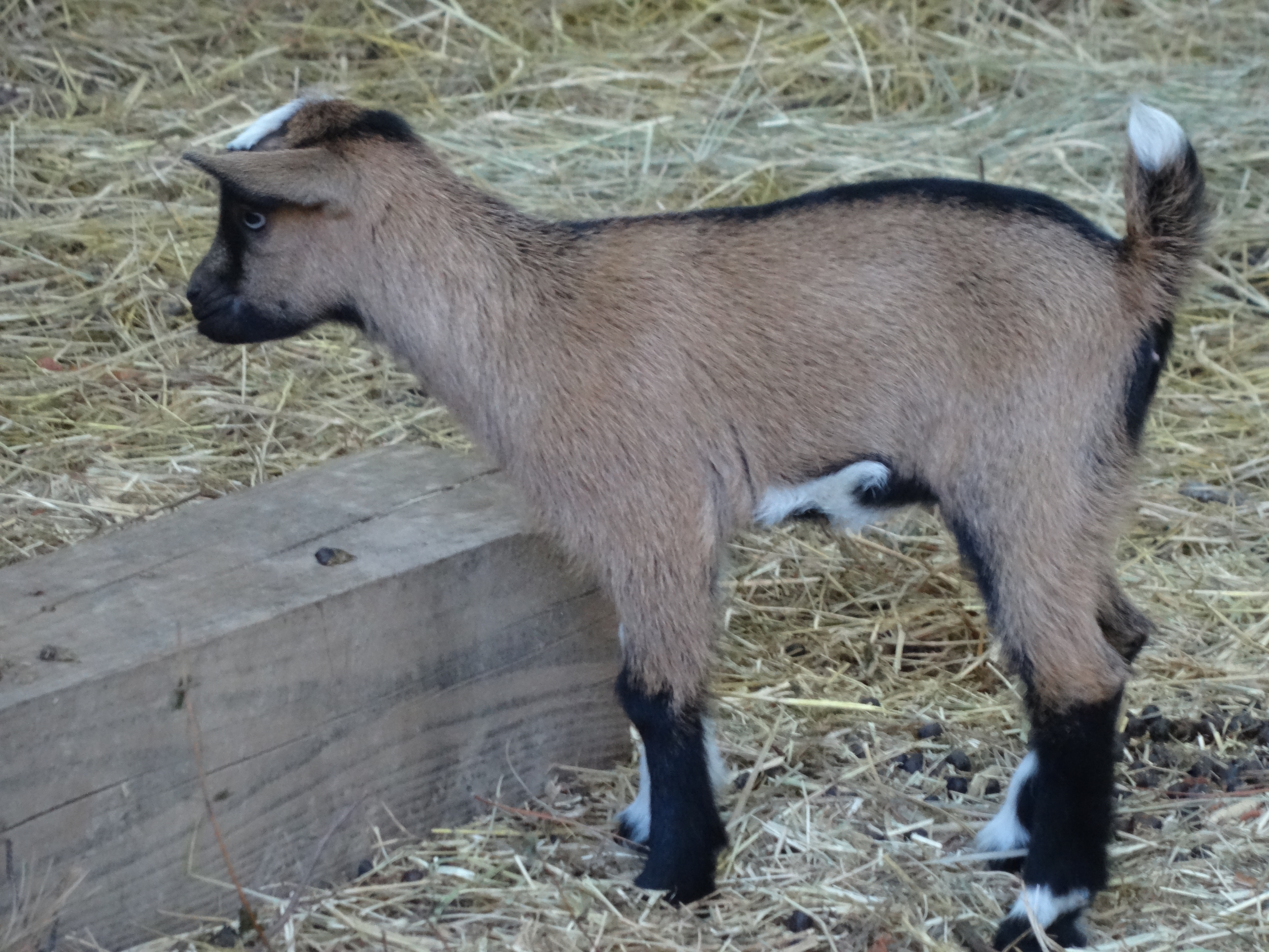
We stayed just outside of the city in an “eco” cottage located just off of the Blue Ridge Parkway. Country living for the week was a welcomed change after staying in the city centers of New Orleans and Atlanta. We awoke with the sun each morning and to the sounds of chickadees, woodpeckers and goats.
Baby Goat – Asheville
The easy pace of Asheville took hold of us immediately as our first full day was spent strolling through artists working studios in the city’s River Arts Districts and enjoying the funky culture and food of West Asheville, which was reminiscent of that of Austin’s South Congress 10-15 years ago.
Buddies, Asheville, NC
However, the bulk of our time was spent enjoying the gorgeous landscapes, winding mountain roads, and some of the numerous hiking trails, rivers and lakes that surround Asheville.
Chimney Rock State Park
Located about 25 miles southeast of Asheville, this is a beautifully maintained state park that offers tremendous views of the Blue Ridge Mountains.
Chimney Rock, NC
We trekked the 491 steps to the top of the park’s namesake rock, followed by a short hike to Hickory Nut Falls.
Descent from Chimney Rock, NC
The falls is featured in the movie, The Last of the Mohicans, which we have yet to see.
Hickory Nut Falls, Chimney Rock, NC
Lake Lure, NC
Just beyond Chimney Rock lies Lake Lure, a quaint to upscale community in a narrow valley on a southern inlet of the mountain lake of the same name.
View of Lake Lure from Chimney Rock
We took time to walk the footpath along the waterfront, where we watched boats loaded with tourists head out to and in from the main part of the lake, chatted with locals fishing, and admired the lakefront houses.
Beach at Lake Lure, NC
Nantahala Gorge
The Nantahala offers some of the best rafting in the area and normally we would have partaken in such activity, but being less than three weeks since breaking my ankle, we instead opted to enjoy the river by train.
Rafters on the Nantahala, NC
The Great Smoky Mountains Railroad departs from Bryson City, North Carolina, which is 68 miles west of Asheville.
Great Smoky Mountain Railroad
We arrived in the city early with the intention of eating breakfast before catching the train. Yelp offered reviews of several restaurants, but we choose the Everett Street Diner because of the local police cars and five Harley Davidsons that were parked outside its entrance. Outside of New Orleans, it offered the best breakfast we’d had to date, and it was certainly the best price.
The 4 hour round trip train ride wound through narrow passages, crossing the Appalachian Trail and Lake Fontana (which is a dull murky green color due to the copper deposits at its bottom), and along the Nantahala River.
Lake Fontana, NC
The river’s most challenging rapids are along the Nantahala Outdoor Center where the 2013 U.S. Olympic kayak freestyle team trained.
Nantahala Rapids
We also found it interesting that the water flows along this section of the Nantahala are slowed to a trickle each evening by an upstream dam.
Great Smoky Mountains National Park ~ Deep Creek
Trey spotted a national park sign as we were leaving Bryson City and decided to follow it. Stumbling across the Deep Creek area of the park was a great addition to what was already a full day.
Deep Creek Section of Smoky Mountain Nat’l Park
We followed two of the three trailheads accessible from the parking lot and leading to separate waterfalls.
Deep Creek, Smoky Mountains National Park
We also loved watching the tubers navigate through the creek’s rocks and currents and found ourselves wishing that we had our bicycles to further explore the parks paved pathways. We did end up returning to the park with our bikes later in the week.
Blue Ridge Parkway
Upon finally leaving the Bryson City area, we decided to loop 10 miles out of our way to check out Cherokee, North Carolina, despite plans to visit it the coming weekend. It is the headquarters of the Eastern Band of Cherokees – the band of Cherokees that broke with the Cherokee Nation prior to removal (The Trail of Tears).
We simply drove through the city and made mental notes of places we wanted to visit on our return. I had recalled that Cherokee was the western end of the Blue Ridge Parkway, the 469 limited access national park road that cuts through and along the top of the Blue Ridge range of the Appalachian Mountains from eastern North Carolina to northwestern Virginia.
View from the Blue Ridge Parkway
Since a quick check on Google maps showed that returning to Asheville via the Blue Ridge Parkway would add only 16 miles to our trip, we decided to do such that and add to the day’s adventures.
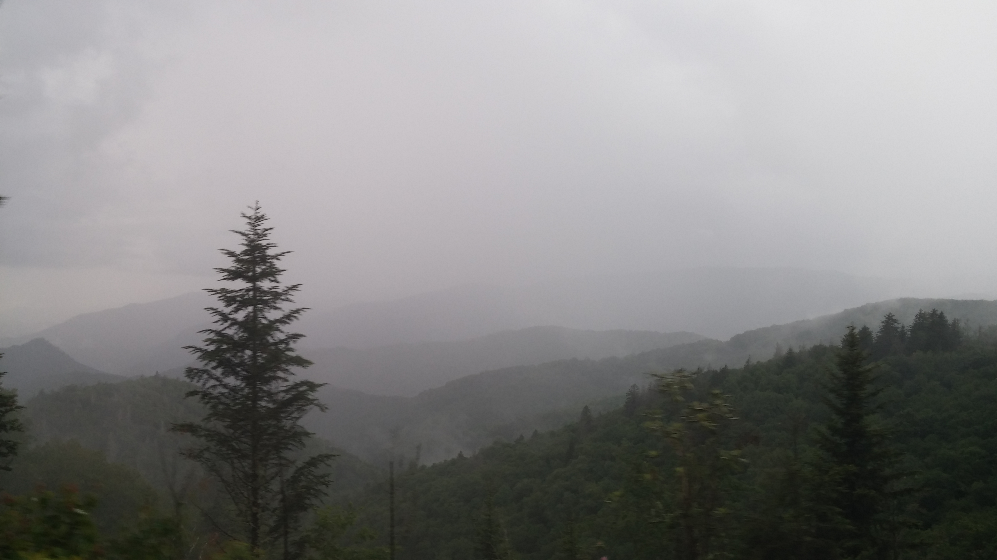
Rain over the Blue Ridge Mountains
Light rain started falling as we entered the parkway at milepost 469, and fell off and on at varying strengths throughout the three hour drive limiting the vistas, but not to the extent that we were not completely impressed and in awe of the surrounding beauty. However, the clouds that sat at higher elevations kept our eyes keenly focused on the only thing visible – the road’s stripes keeping us in our lane.
Despite the occasional nervousness of the drive we foraged through bypassing several opportunities to escape to the lower elevations of state and interstate highways, arriving safely back in Asheville as the sun set.
Fishing and Drawing on the French Broad River
The French Broad winds through and around Asheville and is dotted with “river parks” designated as fishing, swimming, and water craft areas. Trey tried out his casting skills at two such parks but the fish were not biting those days. I took advantage of the scenery and good weather to do some sketching – something I very much enjoyed in my much younger, and less scheduled, days.
Sketch of he Blue Ridge Parkway over the French Broad River
Voices of the Cherokee Festival
We returned to Cherokee, North Carolina for the Eastern Band’s annual festival celebrating their heritage, stories, art and culture. We particularly enjoyed a story about the examples we set for our children in the way we care for aging parents, probably because it “hit close to home” for both of us.
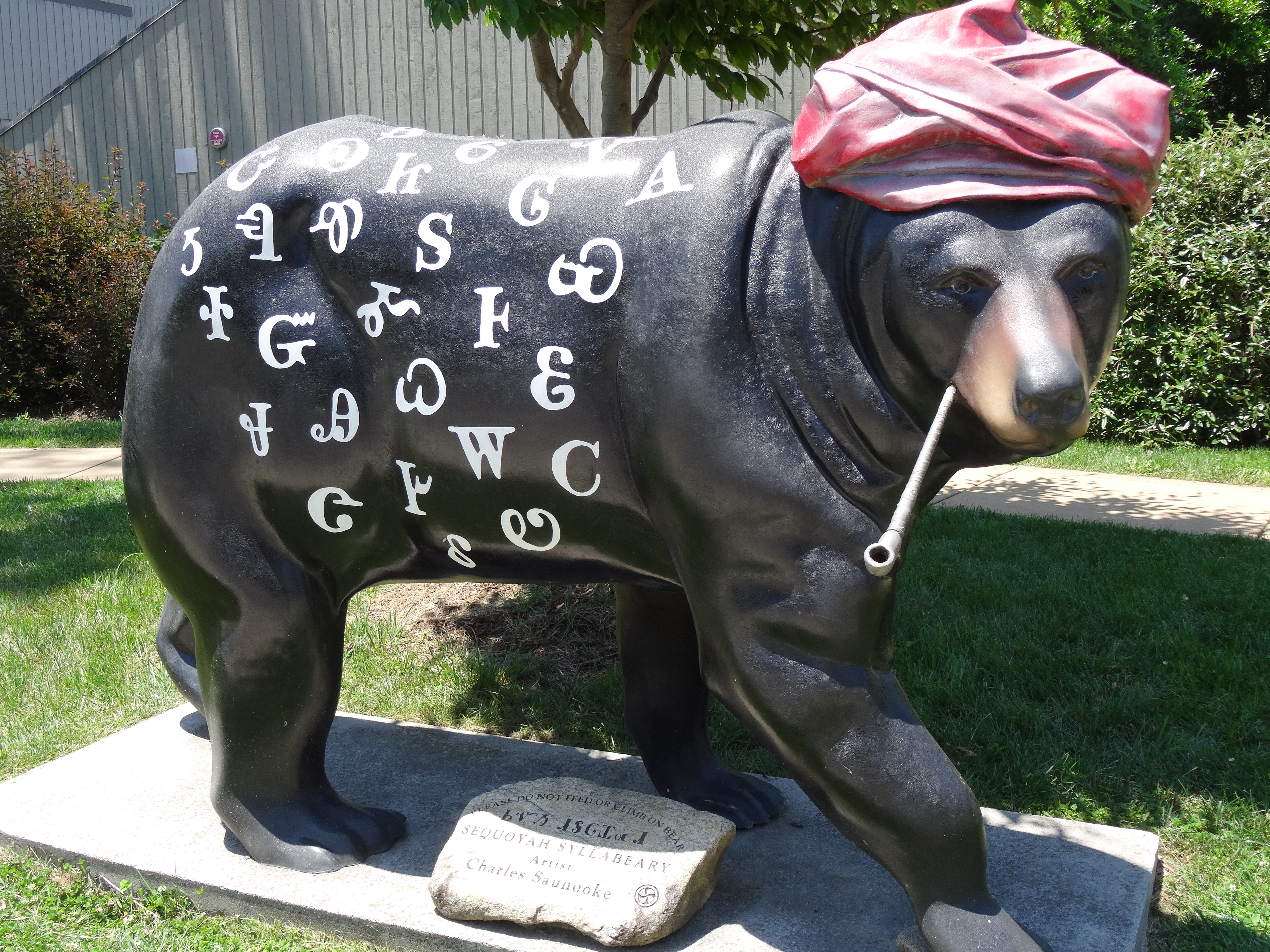
Similar to Austin’s painted guitar sculptures, Cherokee has bears – (Sequoyah)
The story of why there is an Eastern Band of Cherokee is told at the museum and it describes how, after initially and legally avoiding the forced march west, the band persevered through continued removal efforts through various legal means and also by simply hiding in caves among the Smoky Mountains.
Food & Father’s Day
Like everywhere we’ve traveled and will visit, the Asheville area is not short of amazing local fare. The Everett Street diner was relegated to second best breakfast since New Orleans on Father’s Day when, at the recommendation of a friend, we brunched at the Stoney Knob Café in Weaverville.
Our delightful server at Stoney Knob, Emily, elaborated on President Obama’s plans — she had heard that not only is he moving to Asheville, but that he also plans to follow his passion for craft beer by opening a brewery.
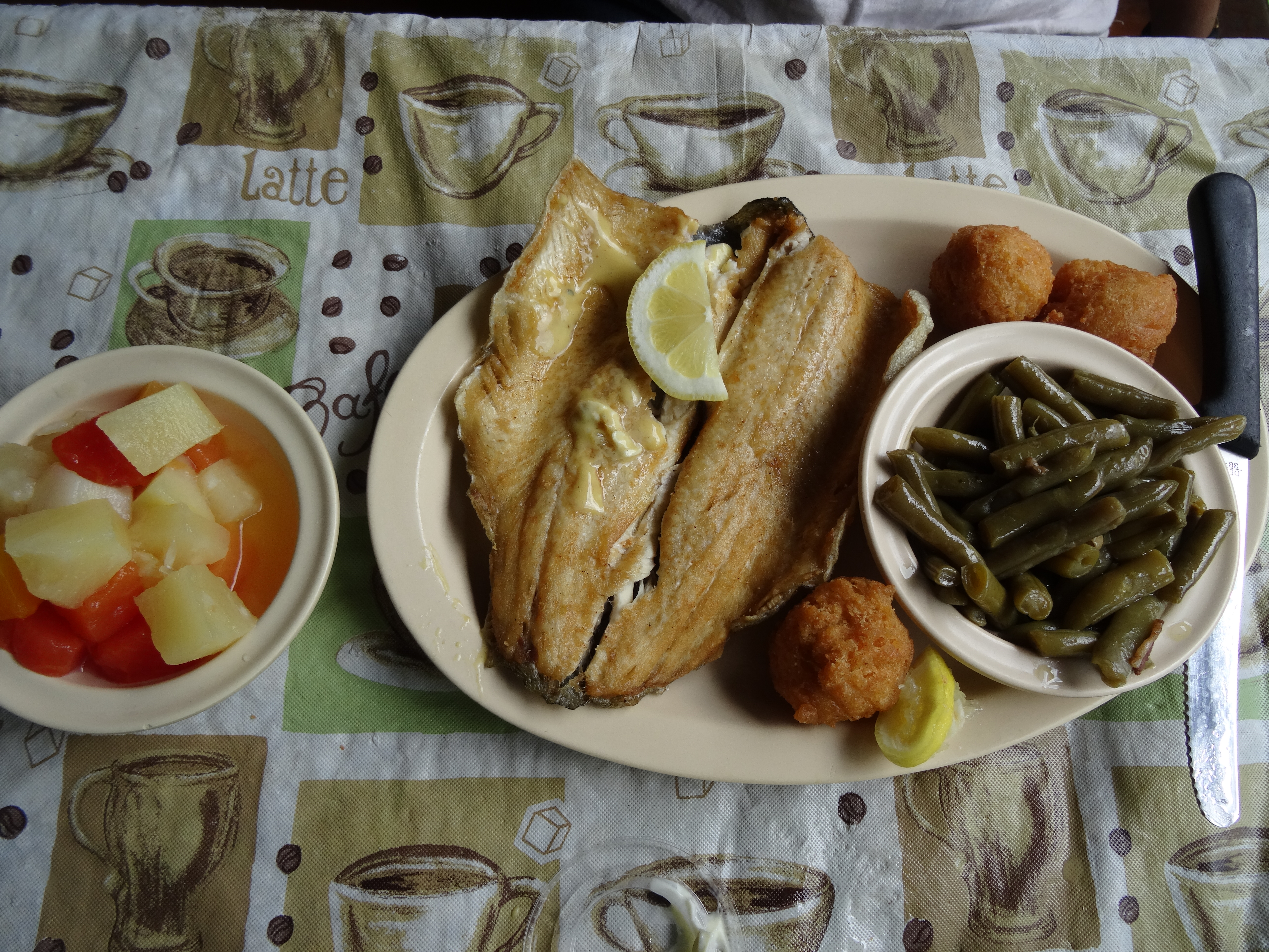
Mountain Trout, Genny’s, Chimney Rock, NC
We also enjoyed Tupelo Honey Café in Hendersonville, a streamside lunch at Genny’s Family Restaurant in Chimney Rock Village, and paninis and cherry pie at the West End Bakery in West Asheville.
Trey took some time on his own to play golf on Father’s day at a municipal course close to where we were staying. He reported that the course is well laid out and a fun course with a challenging back 9, but he was particularly impressed with the price – a total of $64 for the green fee, clubs, a cart, 5 balls, a bag of tees, and a golf glove.
We thoroughly enjoyed our week in the Asheville area and left it with the feeling that it is a community that offers everything we think we’ll be seeking after our travels, with one notable exception — family.
Deep Creek, Smoky Mtn Nat’l Park
This is a record of Trey & Martha's 2014 U.S. travel adventures