
White Sands National Monument
We fell in love with White Sands National Monument (now a national park). Best we could tell, we had the dunes to ourselves.

Hiking the 2-mile Backcountry Camping Trail was great for gaining a sense of the parks’ magnitude and beauty. It also provided us with the surreal experience of exploring an alien-like environment.

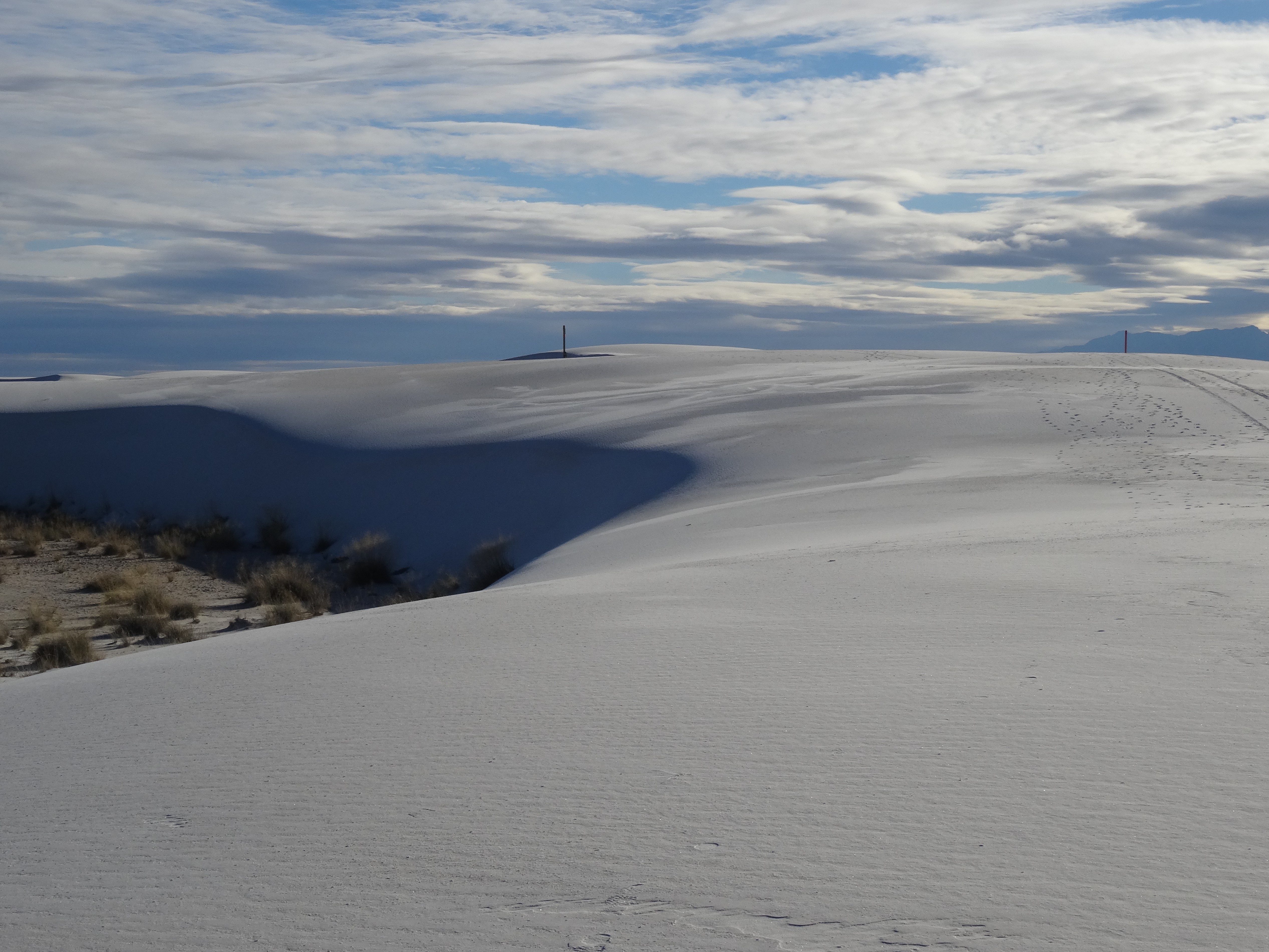
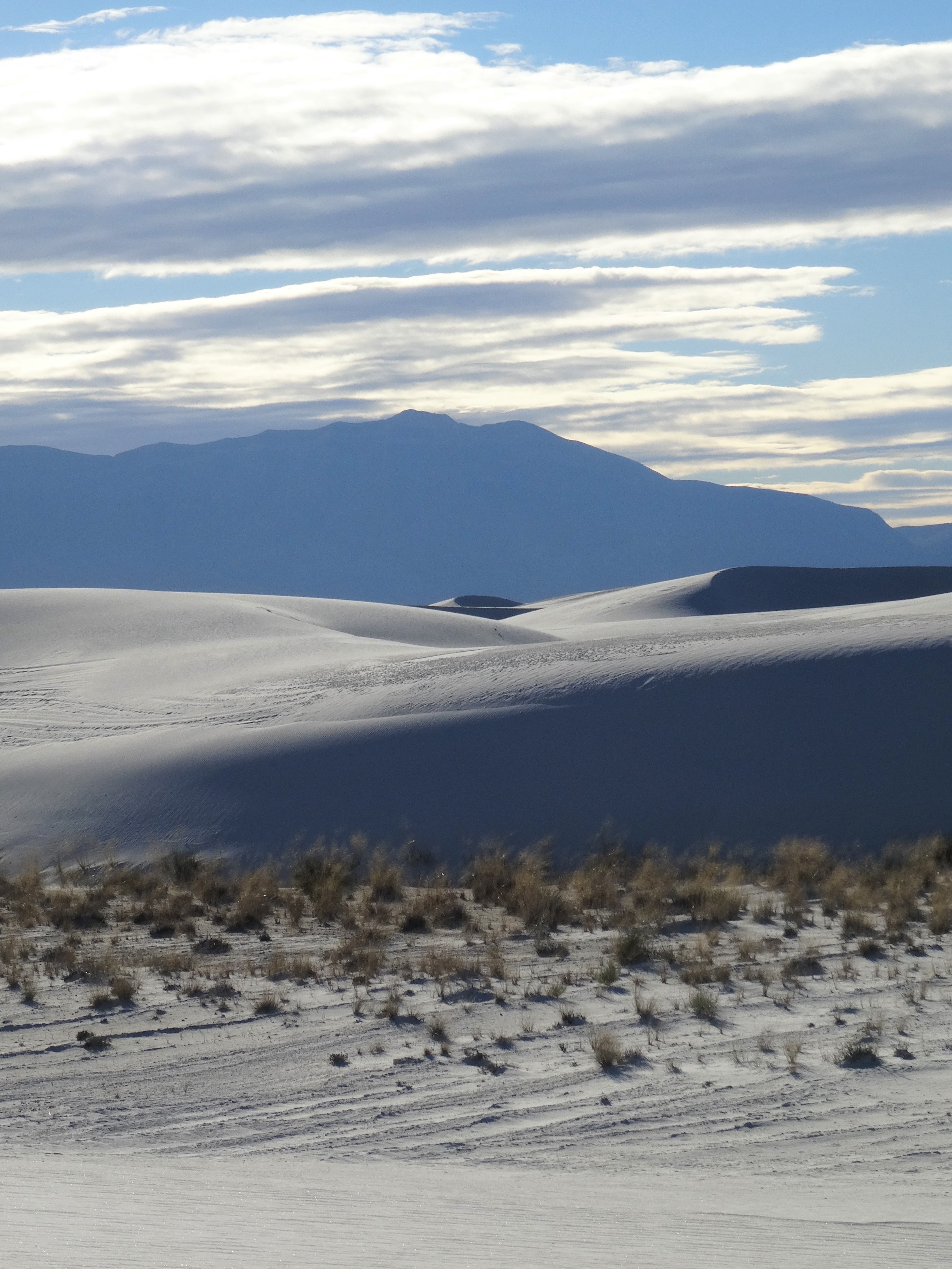
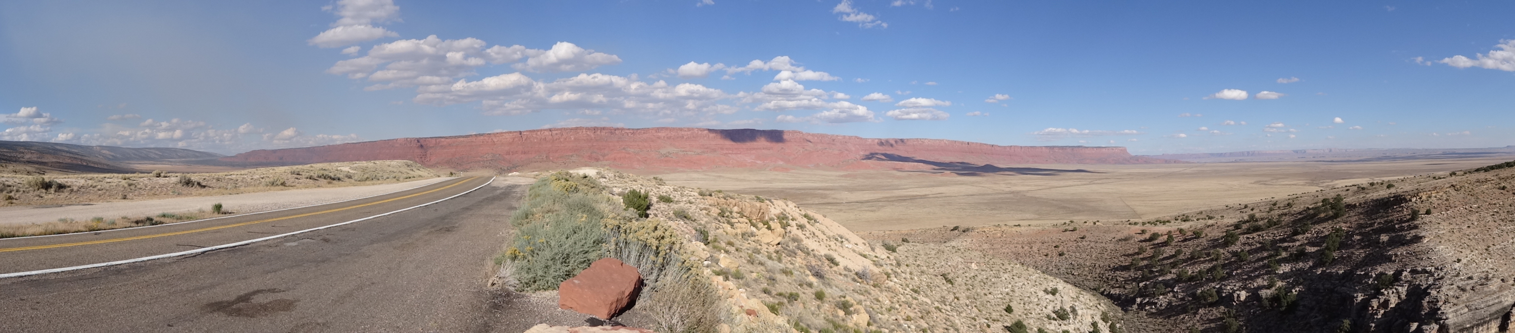
The San Andres Mountains rise up along the park’s western border. Their size and contrast against the white gypsum give the illusion that they’re closer than they are… White Sands encompasses 228 square miles! No, you can’t walk across it.

Treading across the vast whiteness, amongst the ever flowing and shifting dunes, one can easily lose their bearings. It’s both exuberant and eerie, but always having a trail marker within sight was reassuring.
November was perfect timing for our visit… cool and gorgeous weather, perfect sky, and no people.


We played like kids and appreciated the experience fully.
Once again, the visitor center was looping an informative film on the park’s history, geology and ecology.


At 10,000 years, White Sands is a relatively young environment. The expanding (even onto surrounding highways) sandy tract was formed by gypsum deposits in the nearby mountains.

Northeasterly winds break off gypsum pieces and grind them into fine bits, dusting the basin continuously.

We’d already decided to return after dark for star gazing but learned that the park’s gates close at 6pm – no entry or exit after that time.

Alamogordo, New Mexico
We’d chosen Alamogordo as a base due to its proximity to White Sands and only became aware of all it has to offer upon our arrival. First up…
New Mexico Space History Museum

New Mexico Space History Museum
Tularosa Basin has been an epicenter for military research and testing since the U.S. entered World War II. It is home to Holloman Air Force Base and White Sands Missile Range, both innovators in technology and aeronautical aviation.

As a Smithsonian affiliate, the Space History Museum preserves New Mexico’s role in space flight and tells the larger story of the U.S. space program, from the space race with the then Soviet Union to NASA’s ongoing mars program.

Not only are there numerous exhibits from each progressing stage of the U.S. space program, there are several educational videos and interactive displays.

Viparita Virabhadrasana @ New Mexico Space History Museum
You can even test your skill at landing a space shuttle using a simulator. Trey managed to crash, while I ranked “flown where no man has gone before.” I don’t recall if that was a good or bad thing.

Ham the Chimp Memorial Plaque
The Museum and it’s International Hall of Fame where Ham, the first space chimpanzee is honored, kept us fascinated for hours.

Ham’s Space Suit & Capsule, Space History Museum
Then there is the John P. Stapp Air and Space Park that surrounds the museum building. A lunar module capsule, land-speed vehicle, launching track, and rockets of all sorts cover the grounds overlooking the City of Alamogordo.


Wine & Pistachios
We didn’t realize we were back in wine country until we passed a billboard on the way to the space museum. The billboard advertised a winery further up the main road, White Sands Boulevard, but several other vineyards surround the area.
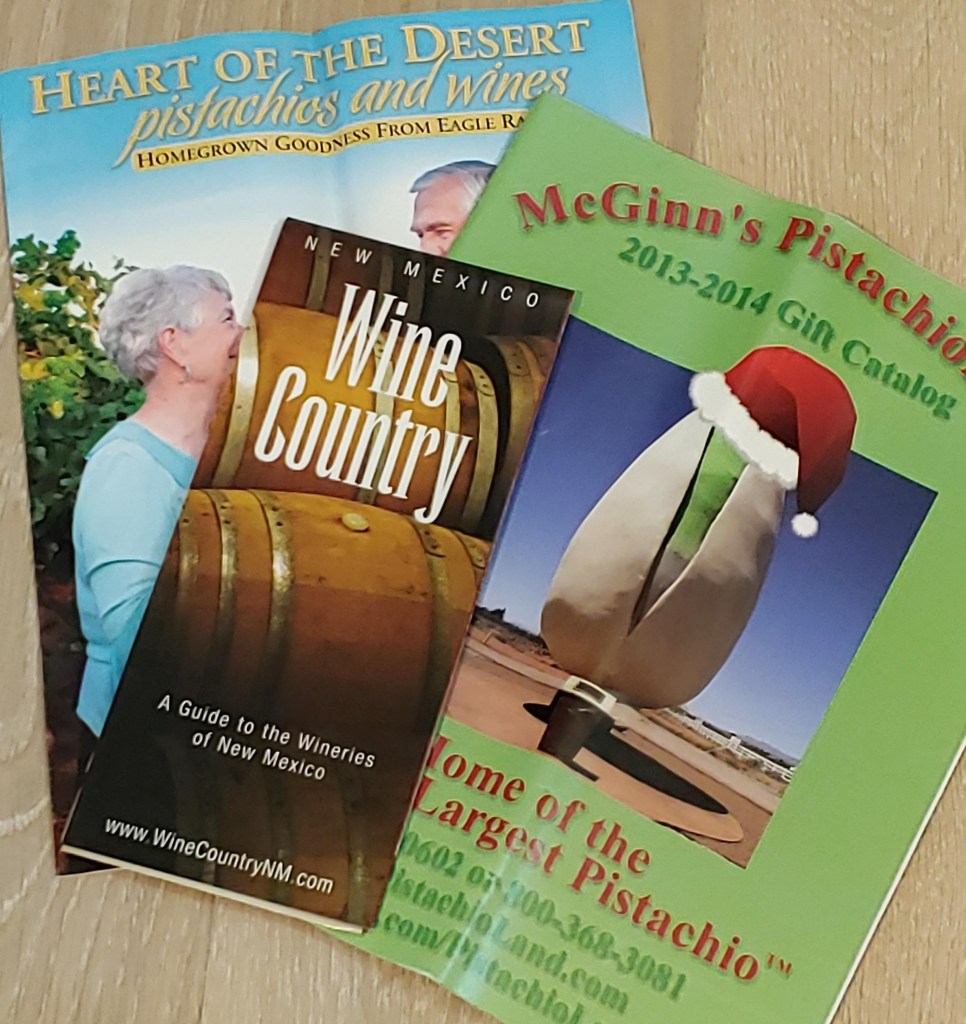
Alamogordo Pamphlets
Tularosa Basin’s soil composition, altitude, and temperatures make it ideal for grape production. Spanish settlers and missionaries knew this and were the initiators of New Mexico’s wine tradition.
We sampled wines at Heart of the Desert and Arena Blanca wineries and bought a couple of bottles.

Heart of the Desert wine bottle is now used as a candlestick holder
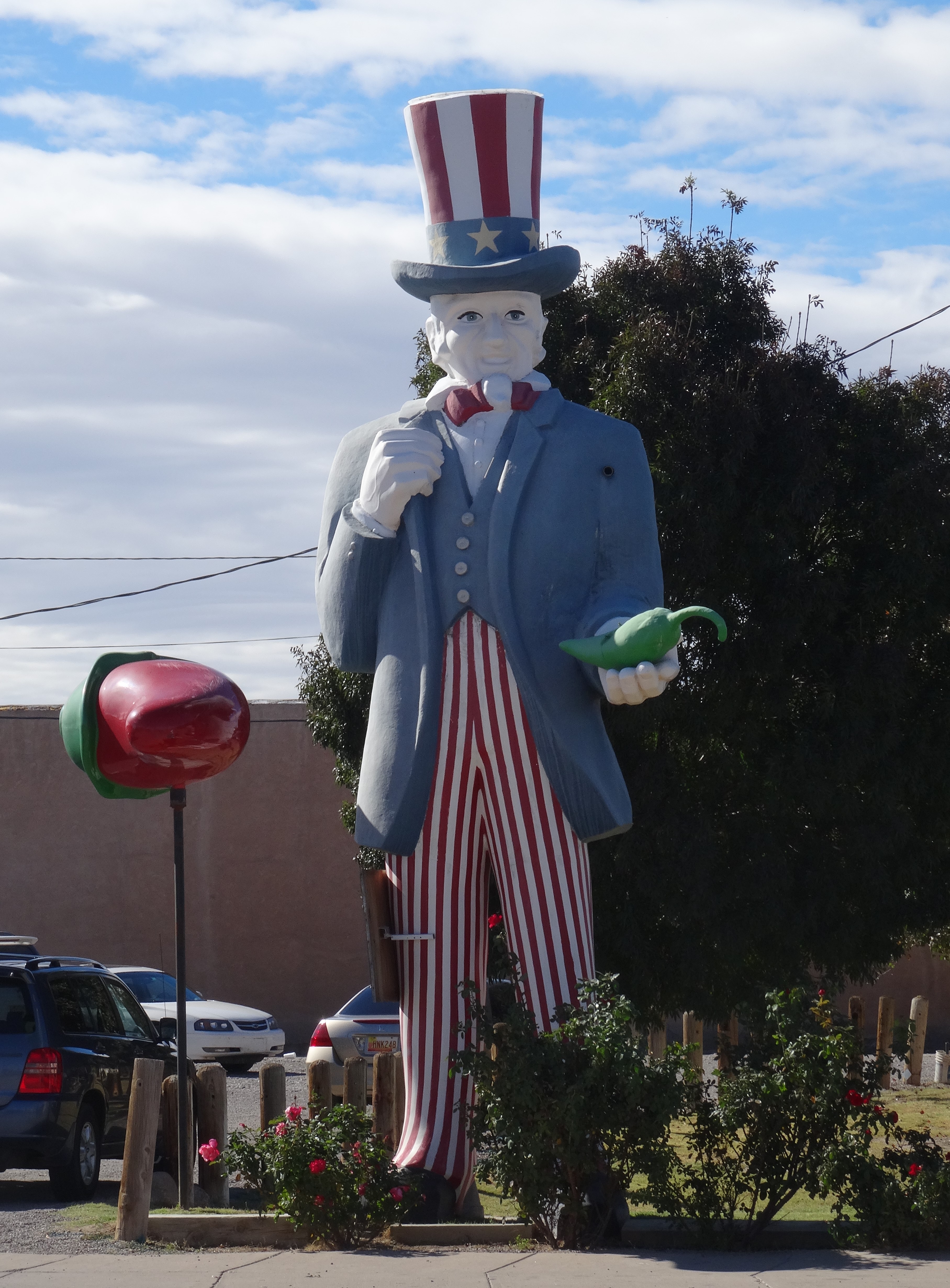
Arena Blanca is associated with the Pistachio Tree Ranch, or Pistachio Land, a 90-acre orchard and home to the world’s largest pistachio.

World’s Largest Pistachio
Pistachio trees benefit from the same natural conditions that make this basin ideal for grapes. A bag of roasted and shelled pistachios sustained us through the remainder of our trip. Very fresh and yummy!
Food…
Blake’s Lotaburger, a family owned chain, is a New Mexico tradition much like Texas’ Whataburger. Its fame expanded beyond New Mexico when it was featured in the AMC’s series Breaking Bad. We hadn’t yet watched Breaking Bad but were lured to Blake’s simply by its authentic and nostalgic burger joint vibe. It did not disappoint; the green chilies burger was nothing less than phenomenal!
We thought our last family visit had taken place in Reno with my brother and his family. No, one more Alamogordo surprise awaited.

Trey outside La Posta de Mesilla
Trey’s nephew lives in El Paso, which wasn’t on our path of travel. Happily, Jim contacted us and proposed meeting for lunch in between El Paso and Alamogordo. He suggested La Posta’s in Messila (Old Town Los Cruces).

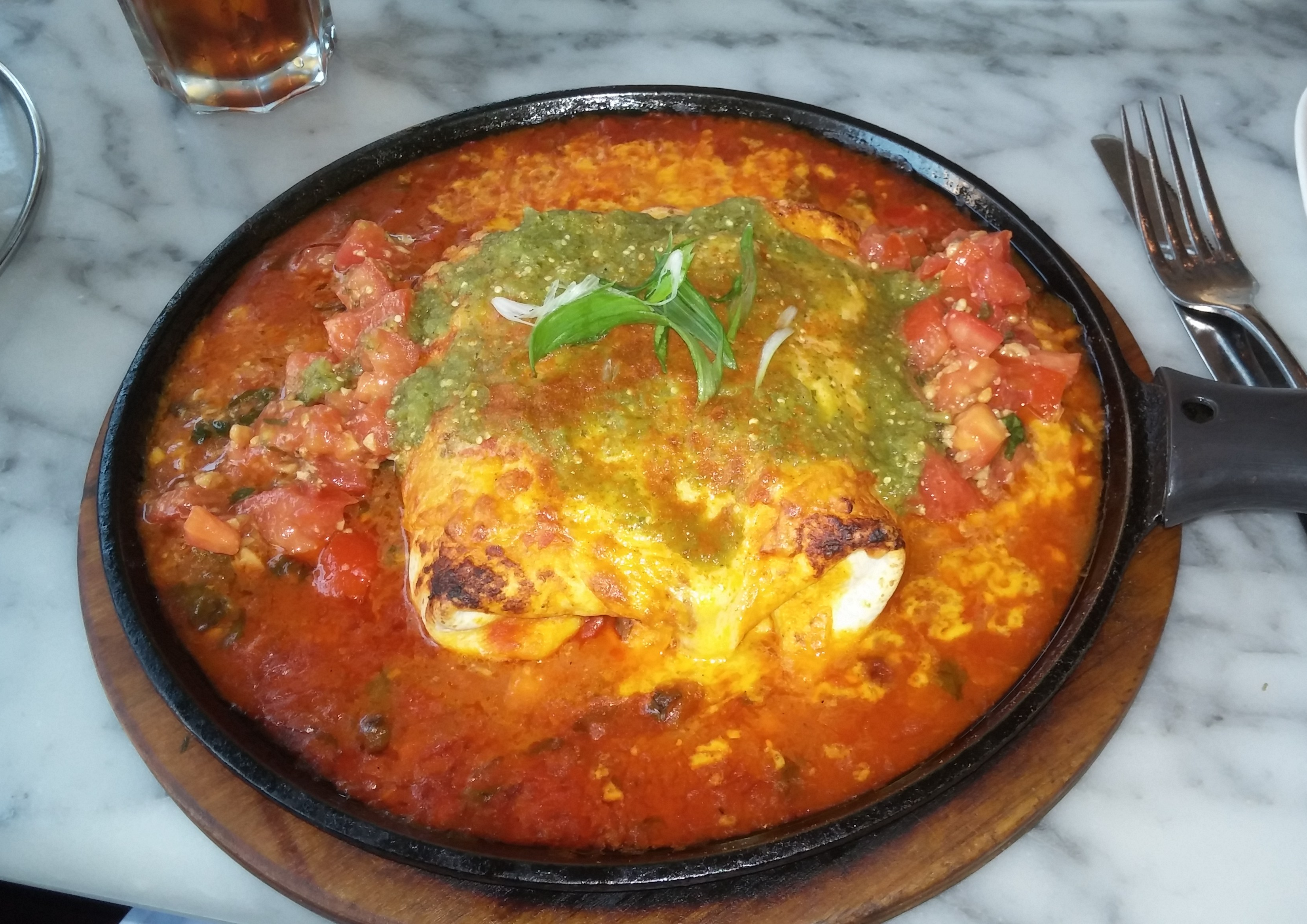
Photo from La Posta’s Website
Best Mexican food of the entire trip! And if anyone has read through these blog posts, they know we love Mexican food and ate it whenever we could… from Montreal, Quebec to the Redwood Forest.
It was wonderful catching up with Jim and we were so grateful for the opportunity to add one last reunion to this six-month trek.
Next Stop…
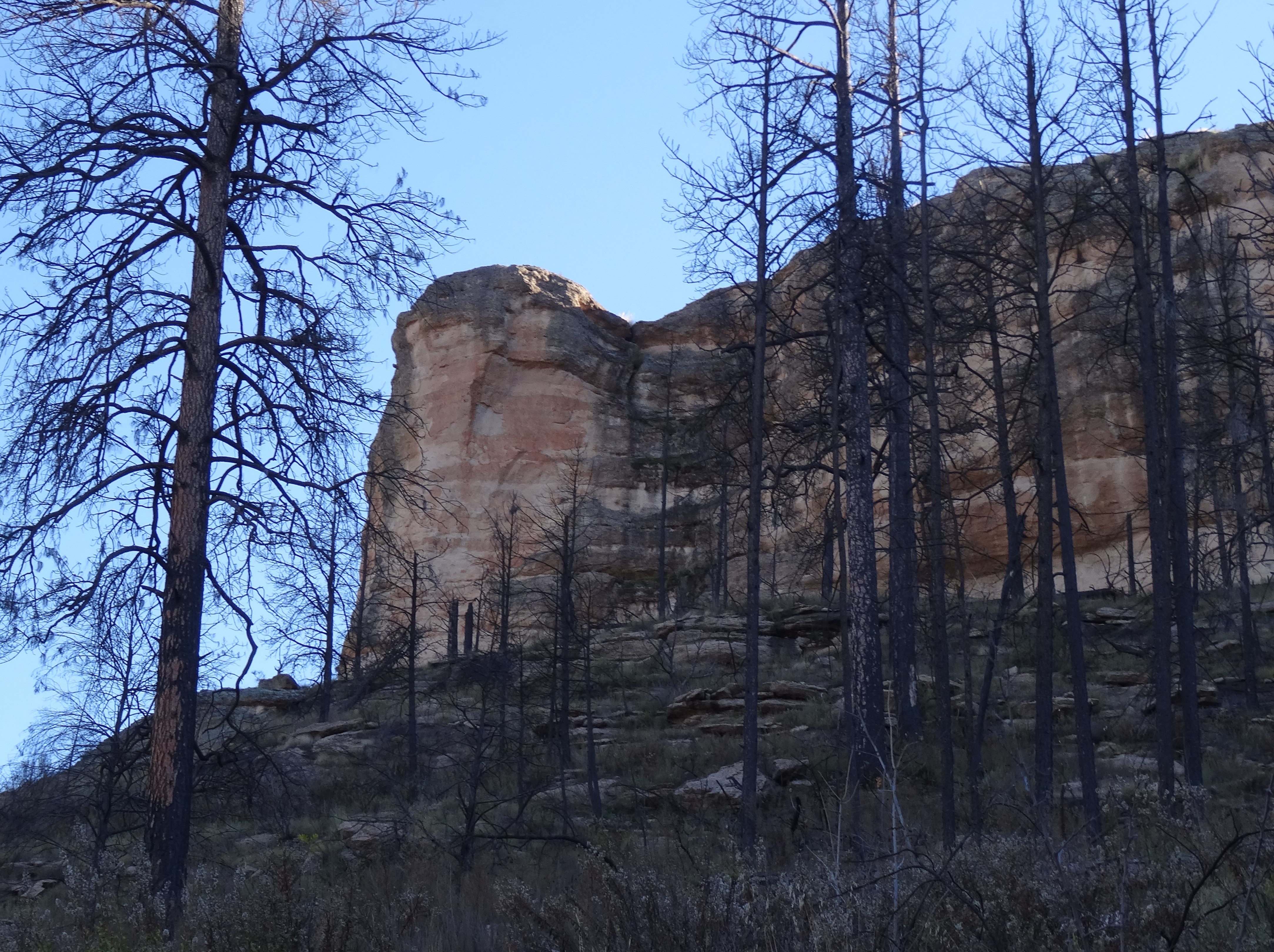
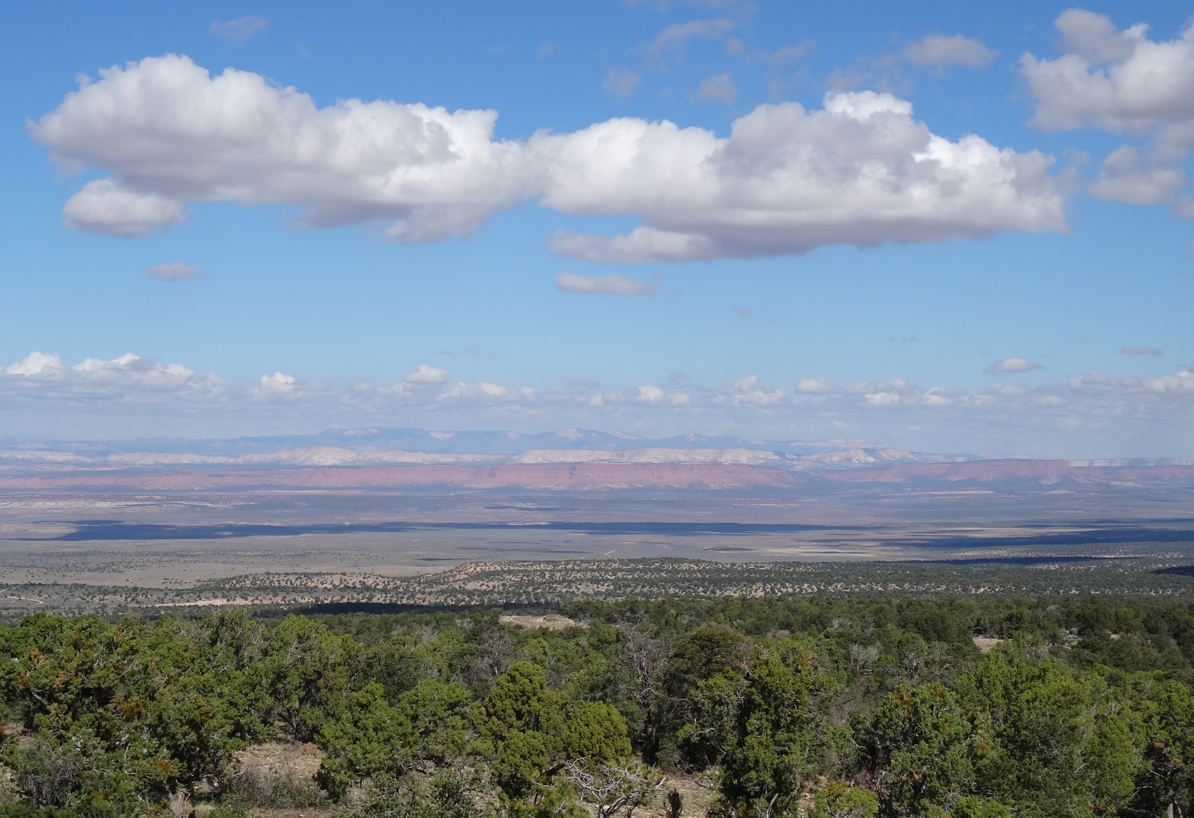
Mescalero Apache Reservation, New Mexico (via Cloudcroft and the Lincoln National Forest)

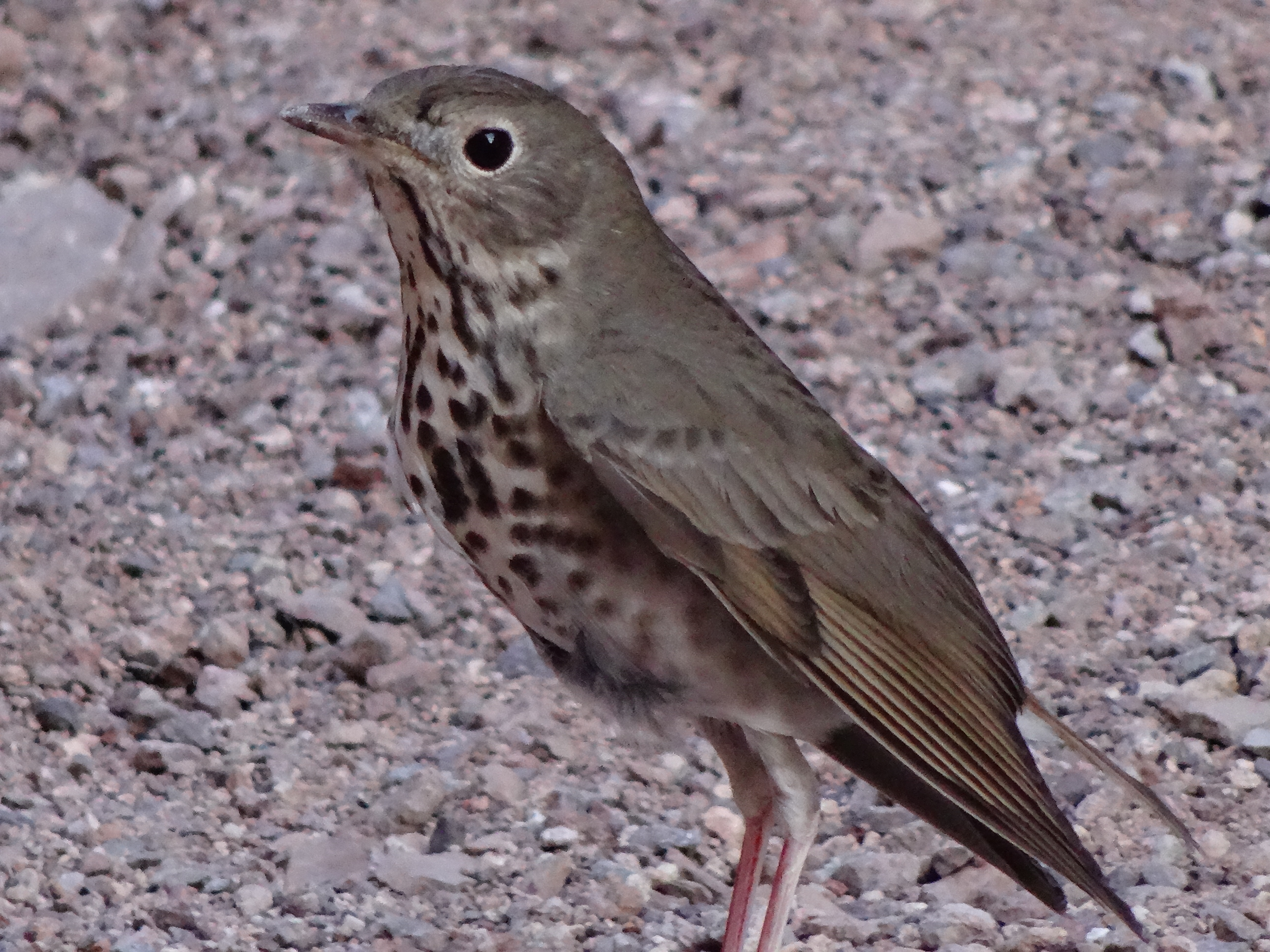
Red Tailed Hawk Taking Off


Lincoln National Forest
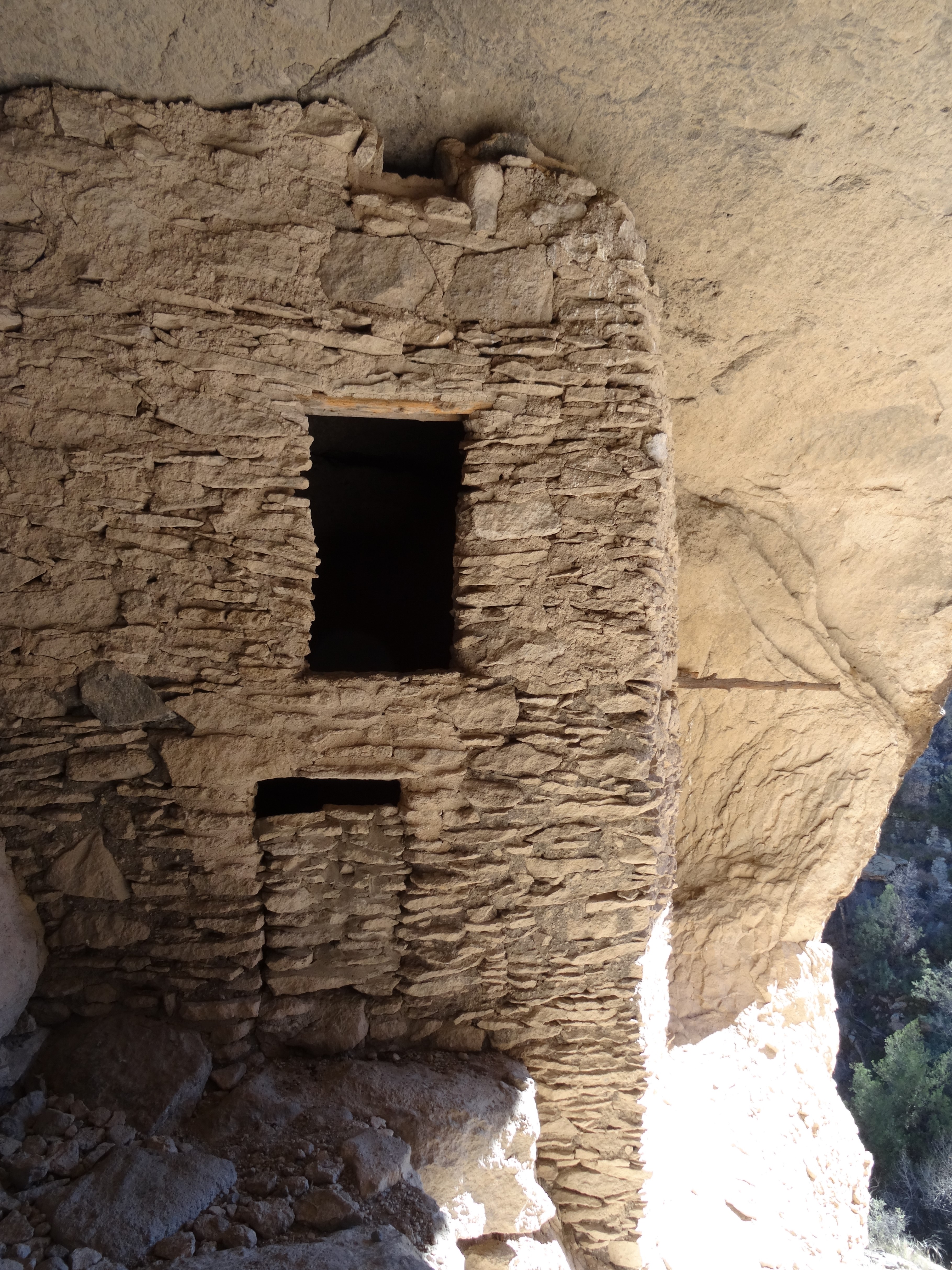
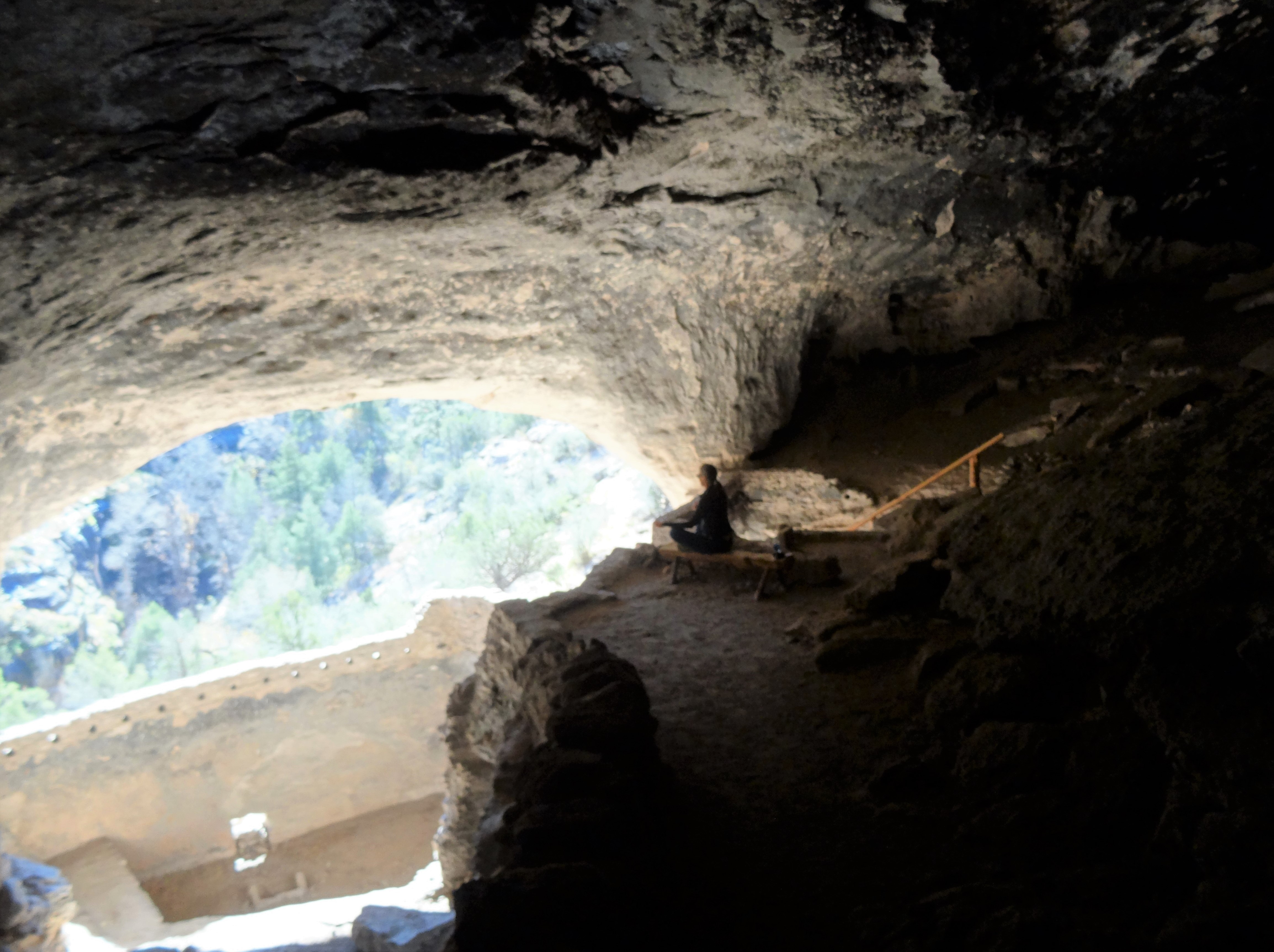
More Pics…


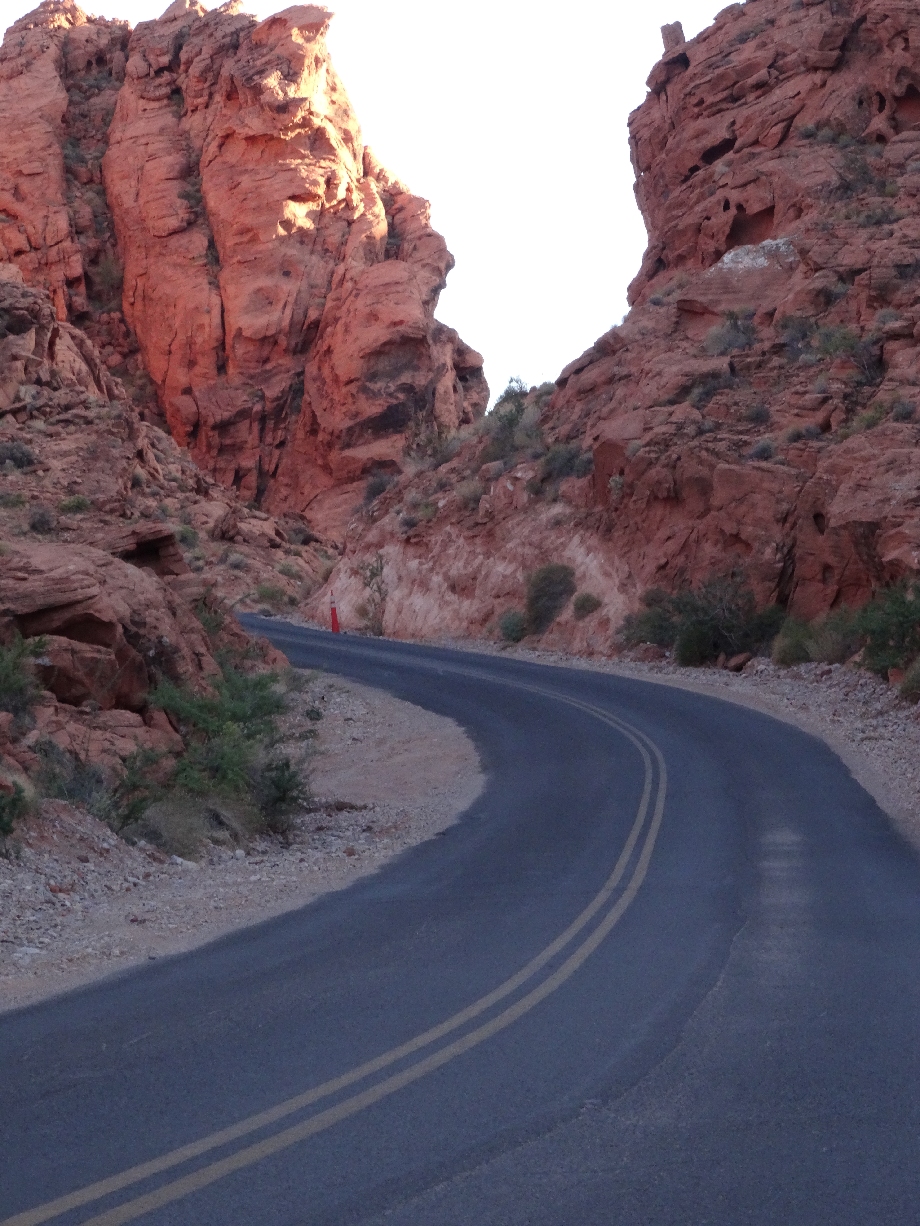
 Nevada’s Valley of Fire State Park is located about 50 miles (an hour’s drive) northeast of Las Vegas. Its sculpted red rocks are stacked and scattered throughout the park’s 40,000 acres.


")