The choice to pushback returning to Texas by a day had been made in Ruidoso, but there was still one more decision, one last detail to figure out.

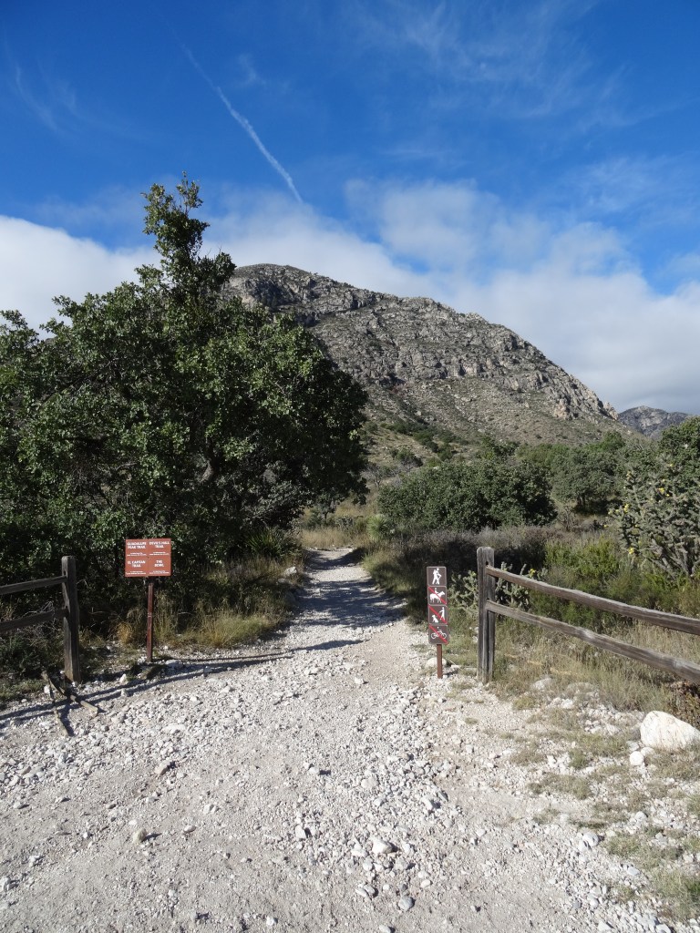
Guadalupe Peak Trail
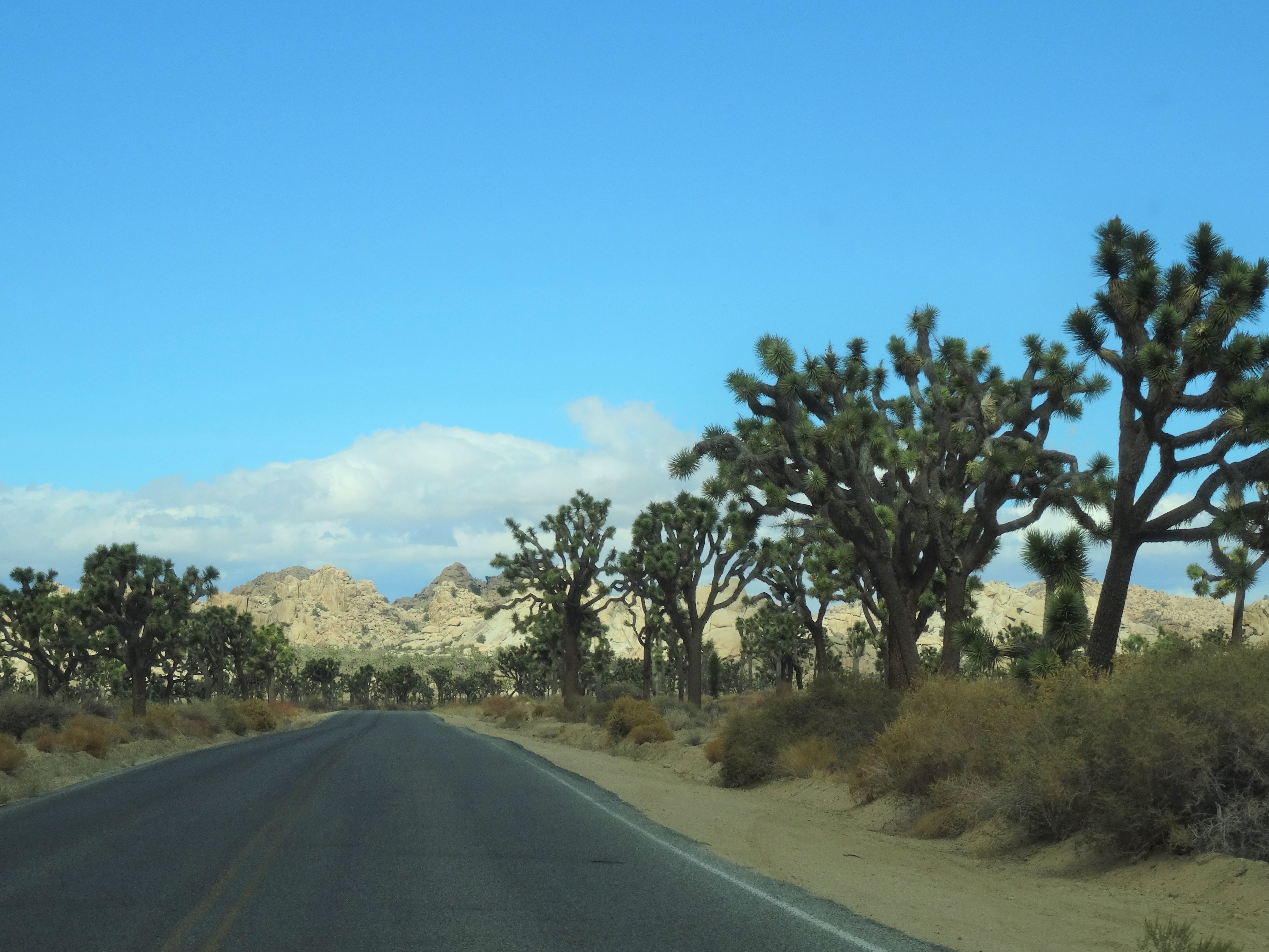
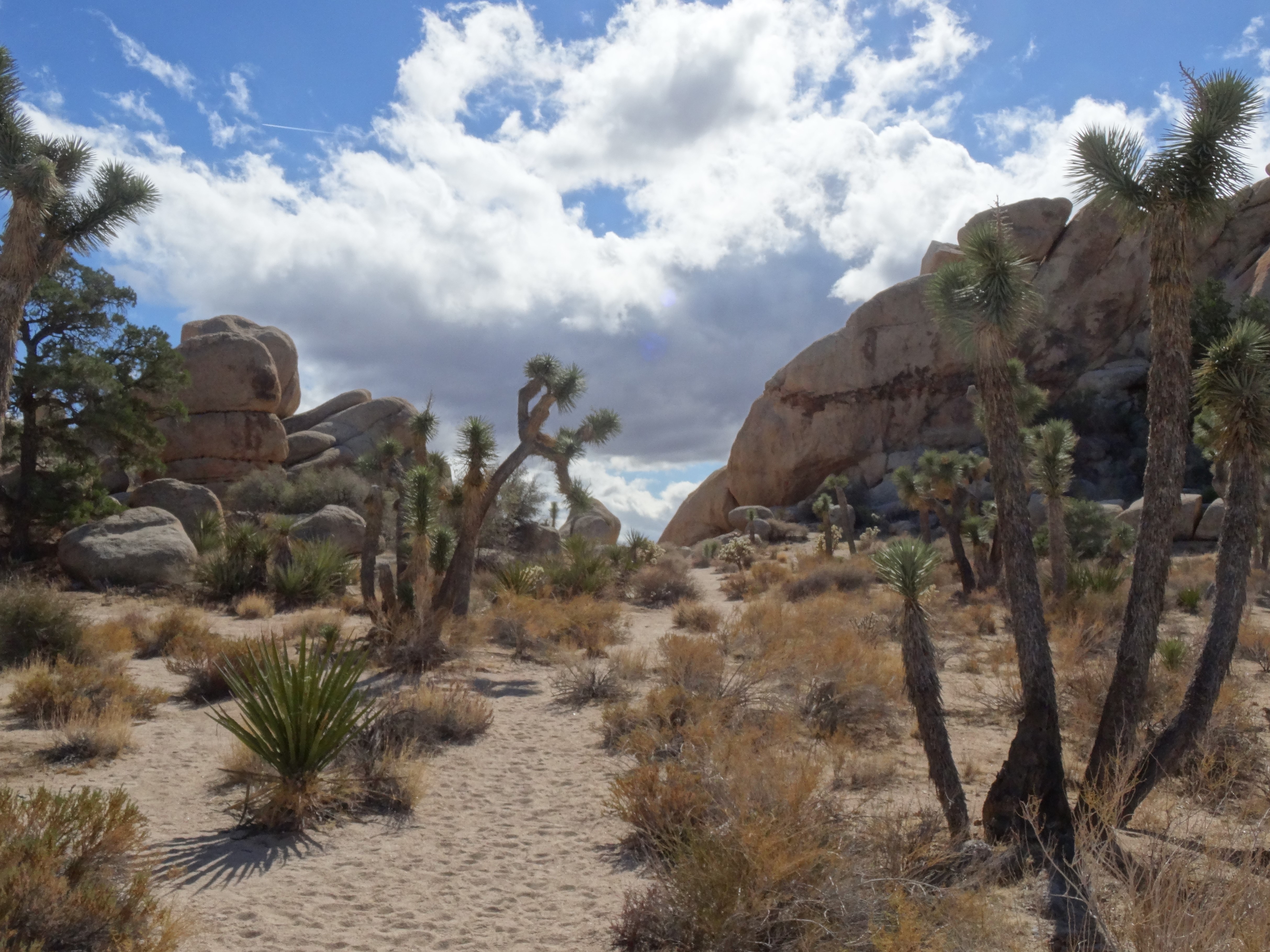
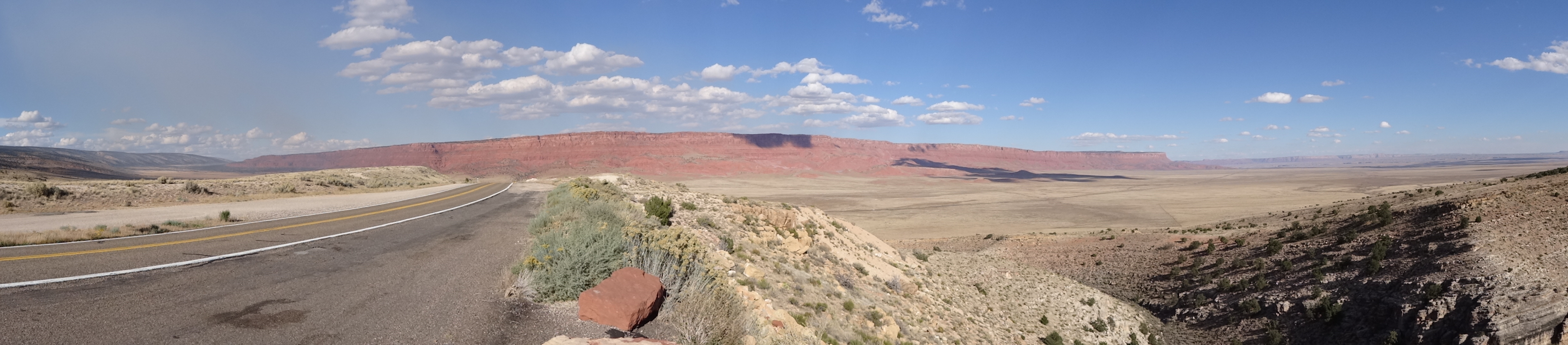
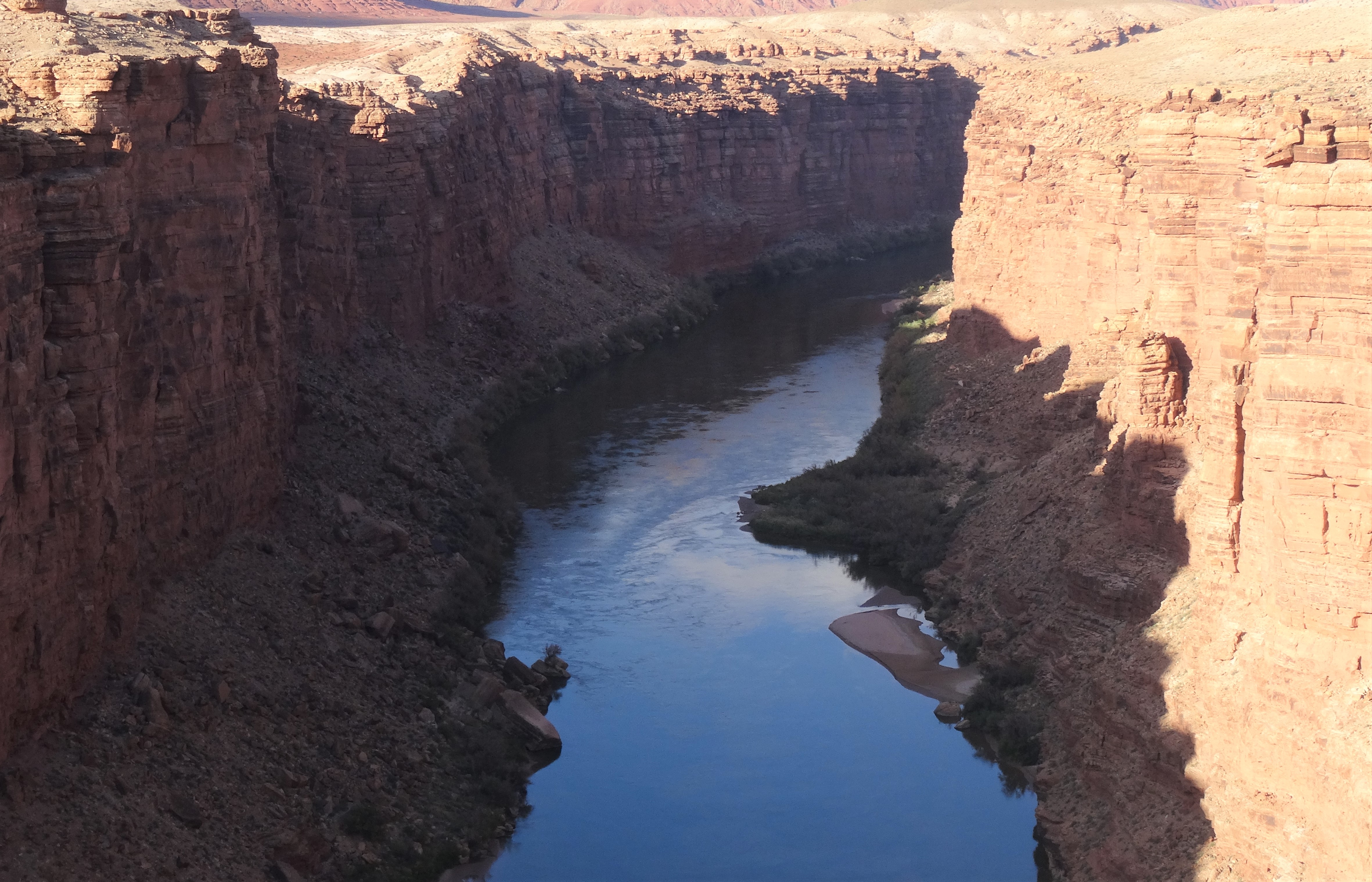
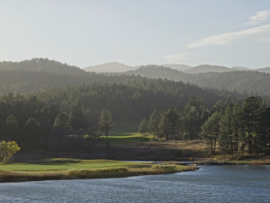
We entered Texas about 100 miles east of El Paso, in the far west region of the state known as the Trans Pecos… this is the region that on a map somewhat resembles the spout of a teapot.

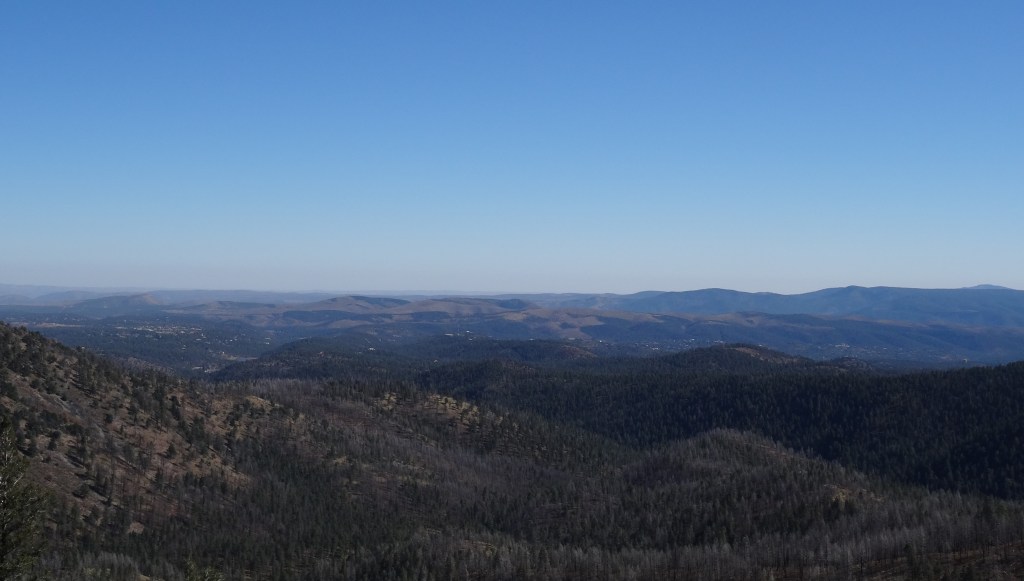
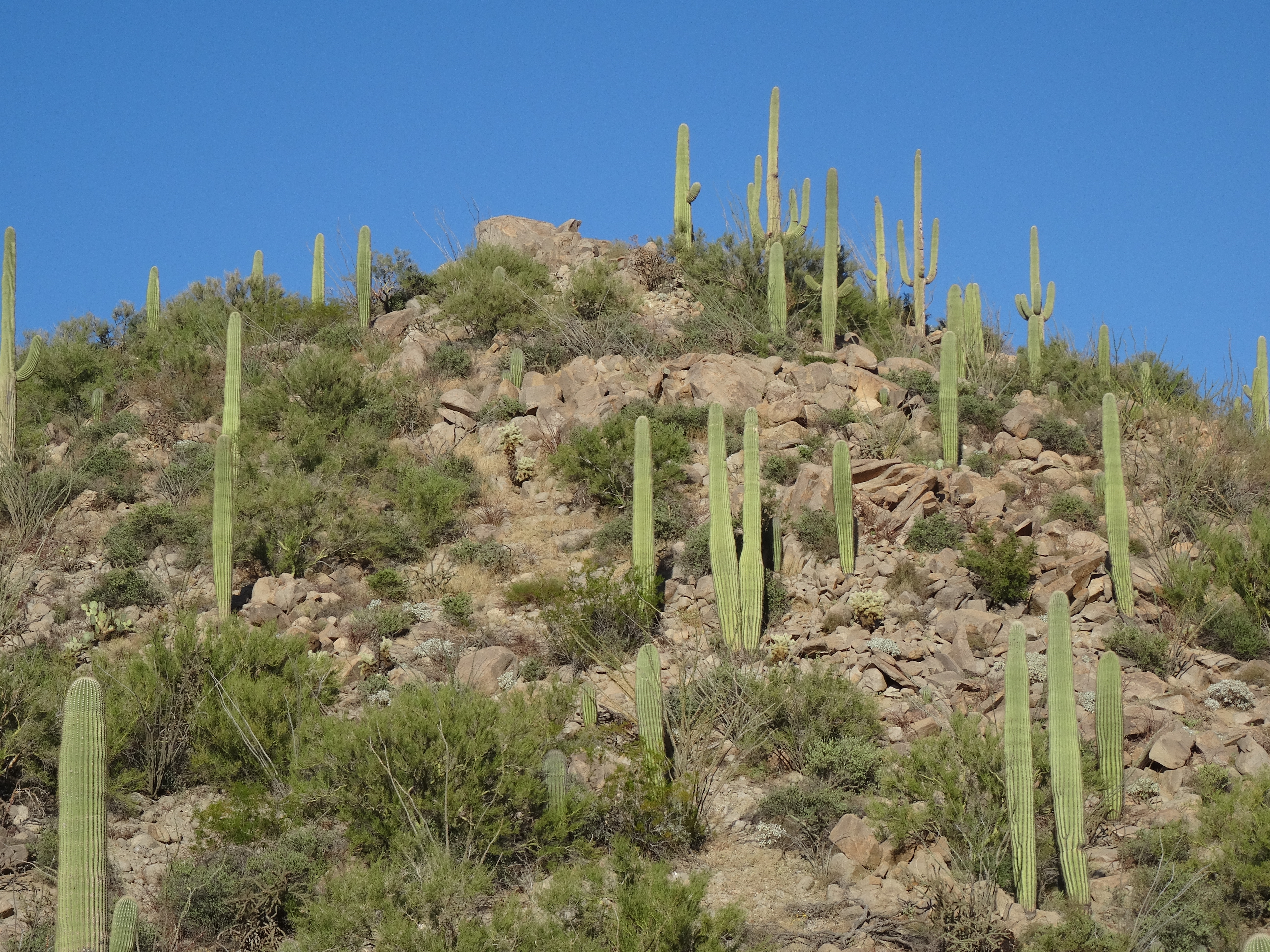
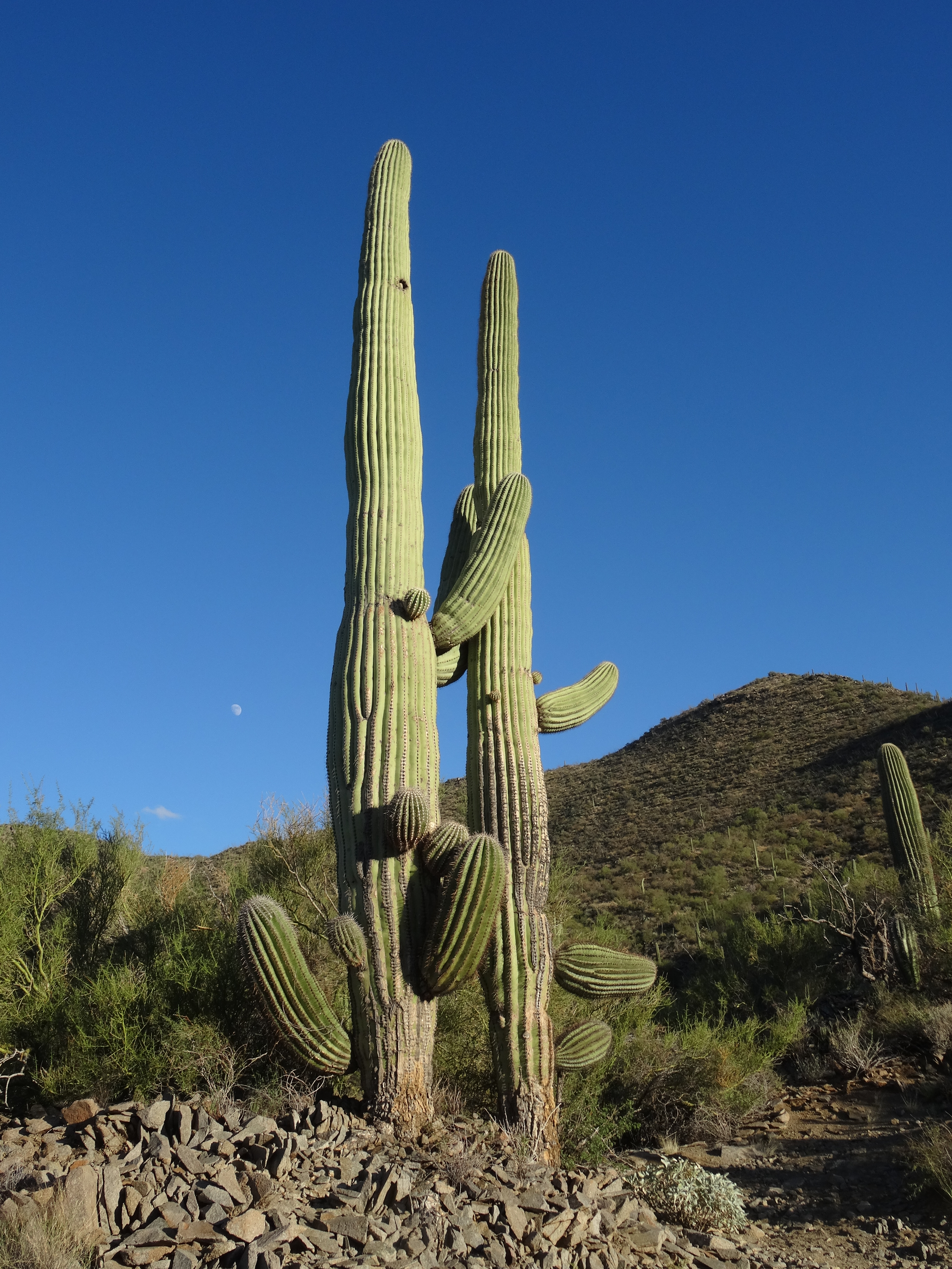
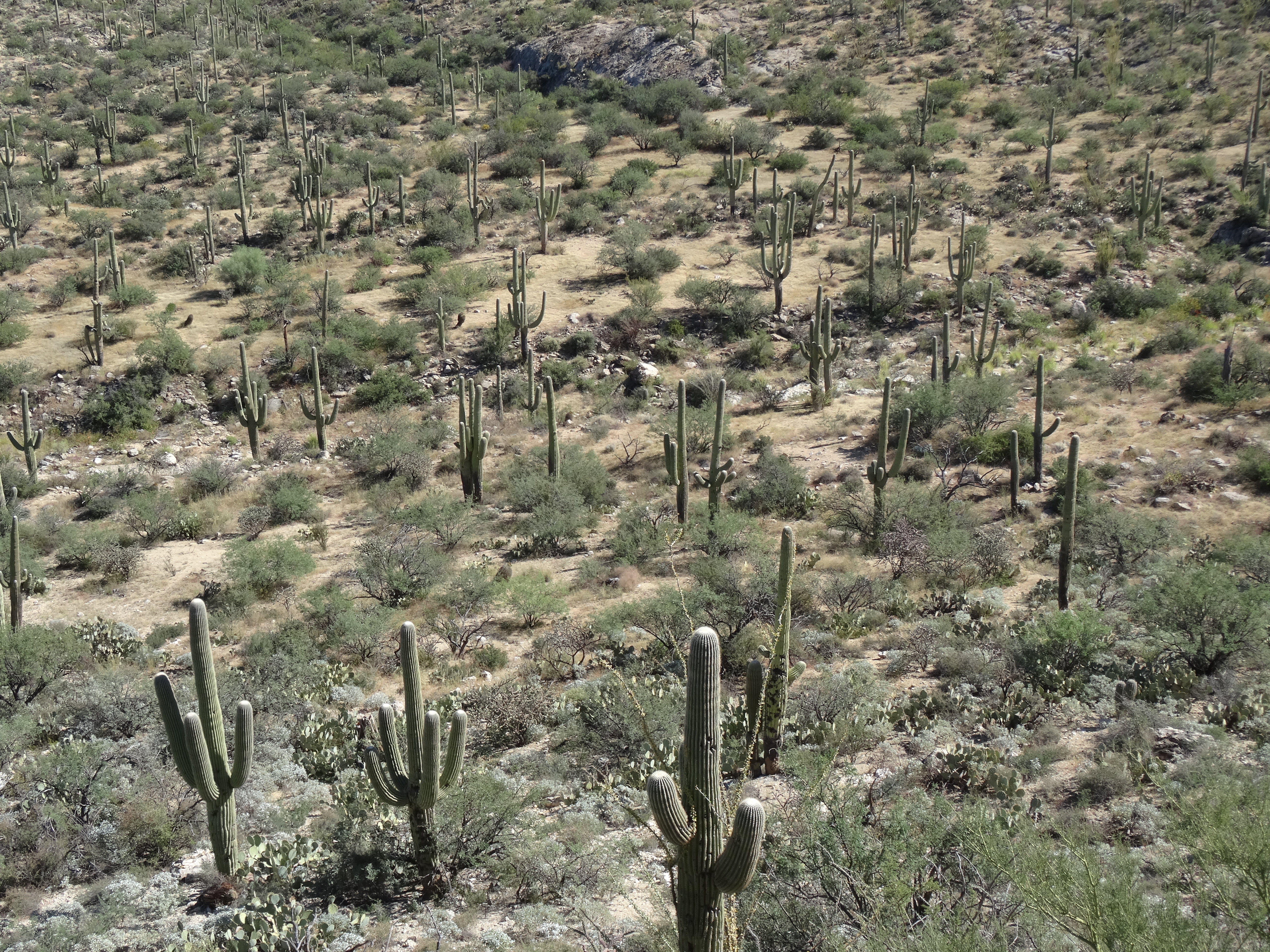
The Trans Pecos is sprawling, wild, rugged, sparsely populated, and beautiful.
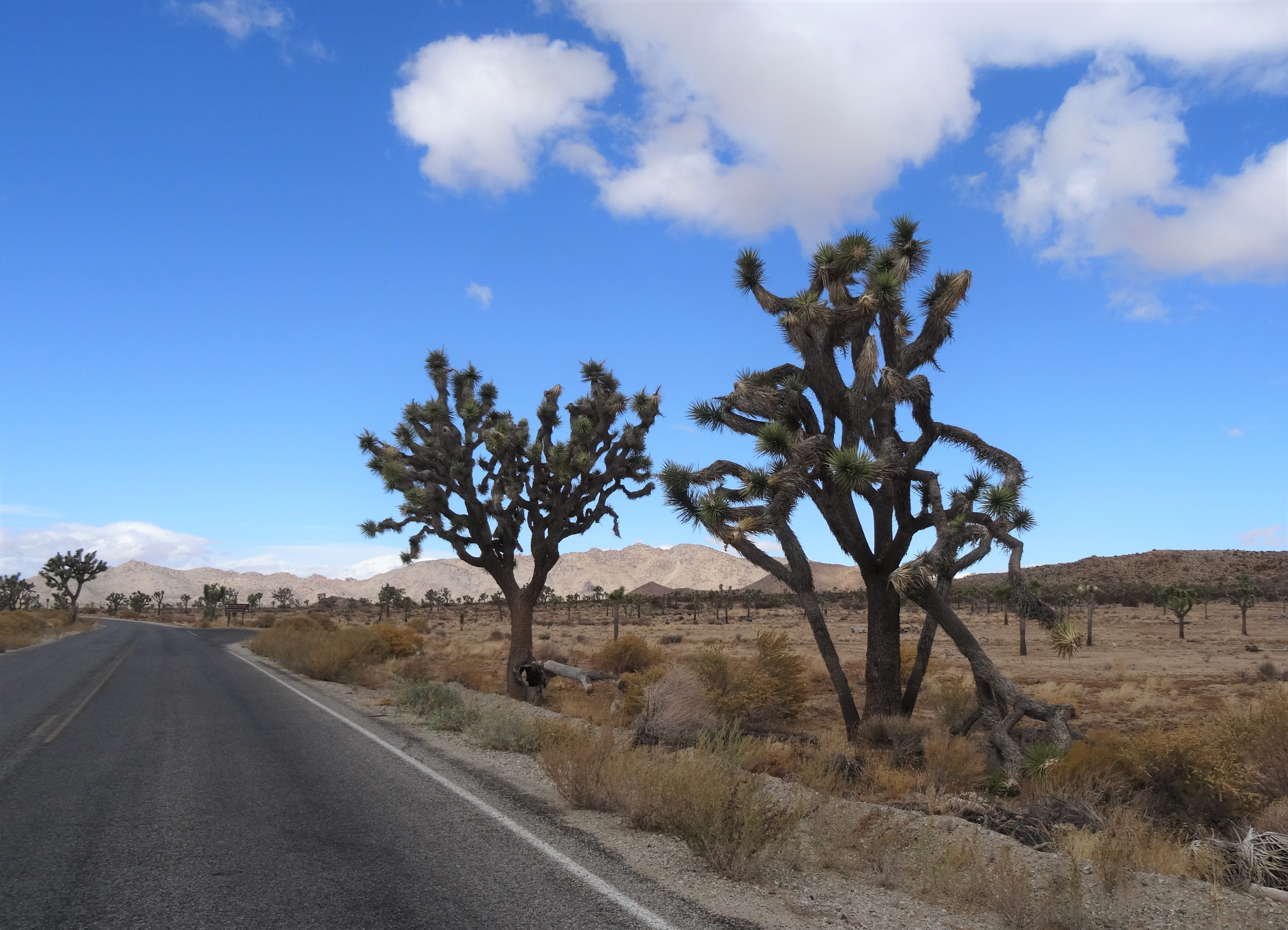
About 19 miles into Texas we pulled into Guadalupe Mountains National Park’s Pine Springs Ranger Station.

A park ranger confirmed that conditions for hiking up Guadalupe Peak hadn’t been favorable since the aforementioned arctic front had whipped through. He said that icy wind gusts on the trail’s craggy north slope had been strong enough to set hikers aloft. But, if we’d wait a day, our prospects might improve as winds were forecasted to dissipate, and temps to rise.
Do we skip climbing up to the highest point in Texas and head home — or wait another day in hopes for better weather?
We figured it out quickly and booked a room for two nights in nearby Van Horn. That’s “nearby” relative to West Texas… Van Horn is 58 miles south of the park’s Pine Springs entrance.
On Friday the 14th, and with the temps still in the 30’s, a crystalline blue sky, and enough zeal to power us up the trail’s first vertical mile, we embarked on our final hike of this six-month journey.

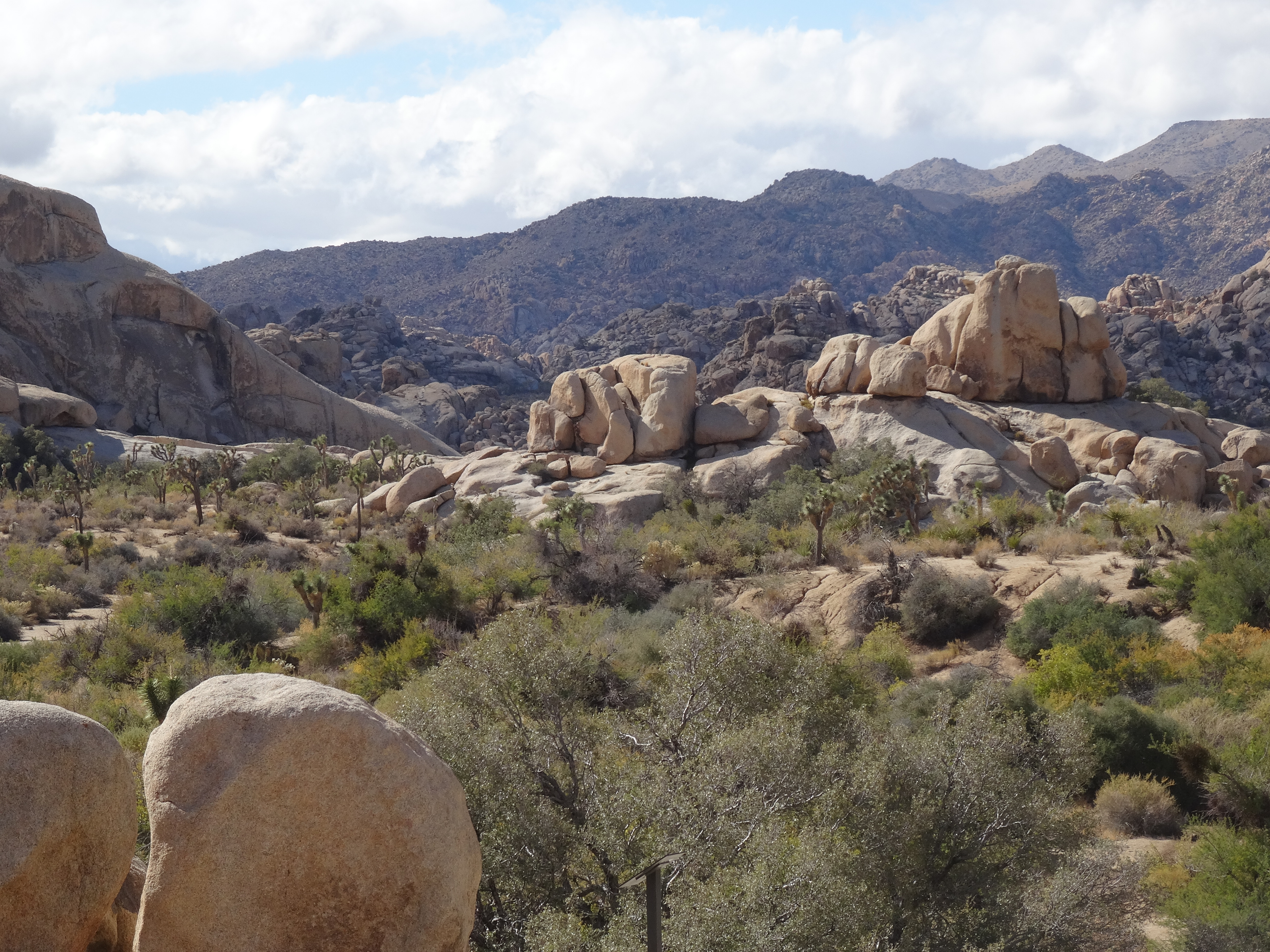
The Guadalupe Peak Trail is beautiful like Olympics’ Hurricane Ridge, challenging like Grand Canyon’s South Kanab Trail, and humbling like Zion’s Narrows. What makes the Guadalupe Peak Trail stand apart is that it’s in Texas, it’s home.

This 4.25 mile (one-way) strenuous-rated trail climbs 3,000 feet to Texas’ highest point (8,750’).

Guadalupe Peak Trail, with its length, illuminating vistas, steep grades, harrowing cliff drops, changing landscapes, opposing elements, and fundamental beauty, was the perfect analogy of both our prior six months of traveling and the year to come.
A rugged, fearsome, and unpredictable terrain, yet with an obvious pathway and perfect outcome…
…one needs only the courage to keep placing one foot in front of the other.
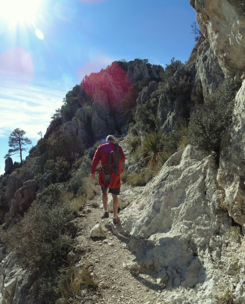
The steep rise for the first mile and a half is a good test for whether your lungs and heart are up to hiking the full 8.5 miles.

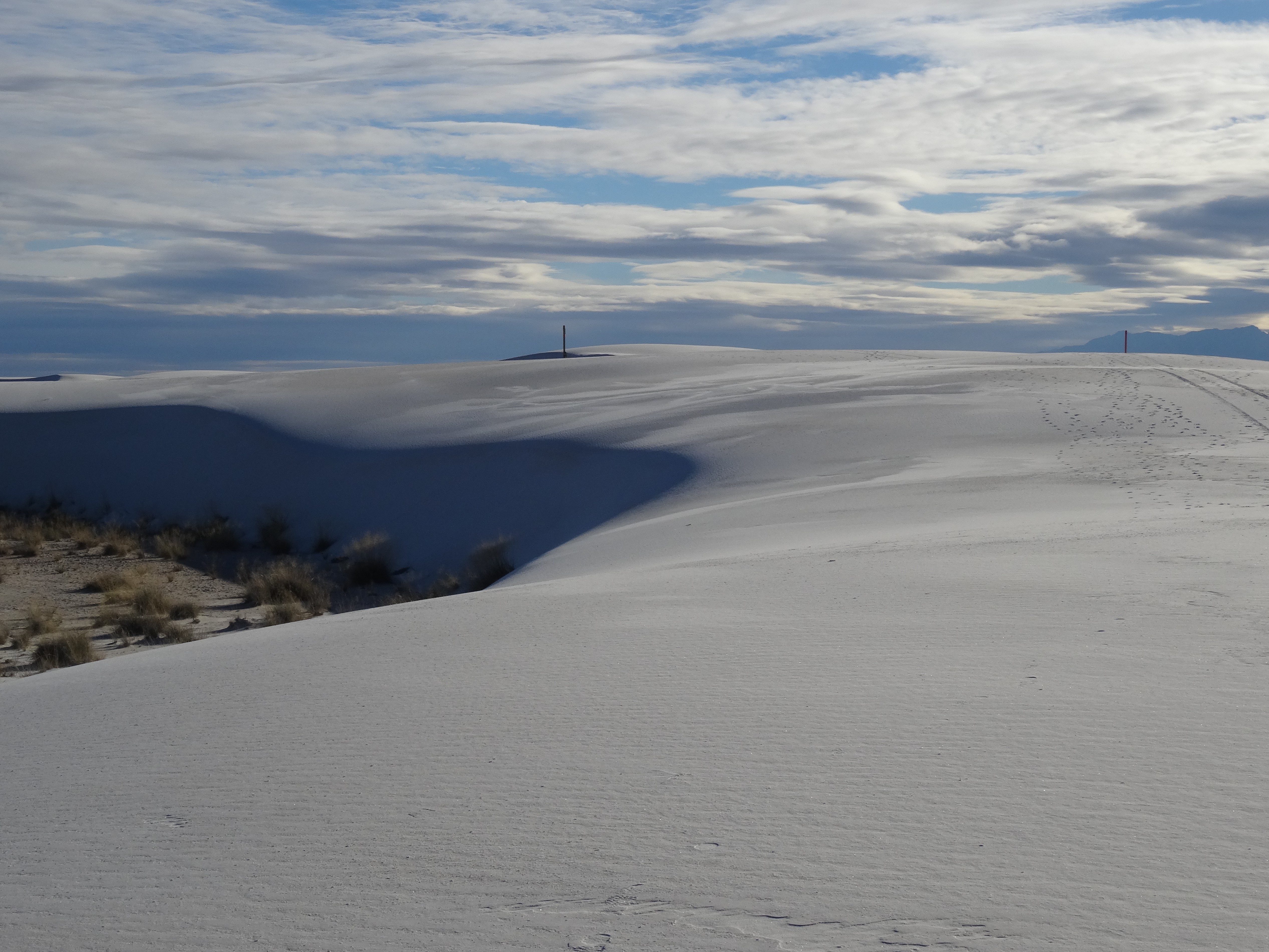
It’s surprising how quickly West Texas spreads out and the campground shrinks as you ascend the first series of switchbacks.

After those first switchbacks the trail continues cutting up and across the western facing slope. It’s less steep in grade, but as you approach a ridge, the right side of the trail falls away and follows the cliff’s edge to a point known as “Around the Bend.”

Once “around the bend” you seem to enter a different ecosystem… with a single left turn you leave the desert.
Now facing north, hikers are subjected to variable weather conditions, including those gusts that can send them aloft and over the rocky cliff.

The drop in temperature was immediate and drastic, as was the increased wind. Gladly, this section of trail is not long.

The cliff soon fades into a forested slope and pine and fir trees begin to surround the trail, protecting hikers (a bit) from the elements.

But the views are no less wondrous.

After another series of switchbacks, the trail levels out somewhat and passes a cutoff trail that leads to a wilderness campground. Soon after, you find yourself edging along another cliff before crossing a wooden bridge and starting the final ascent.
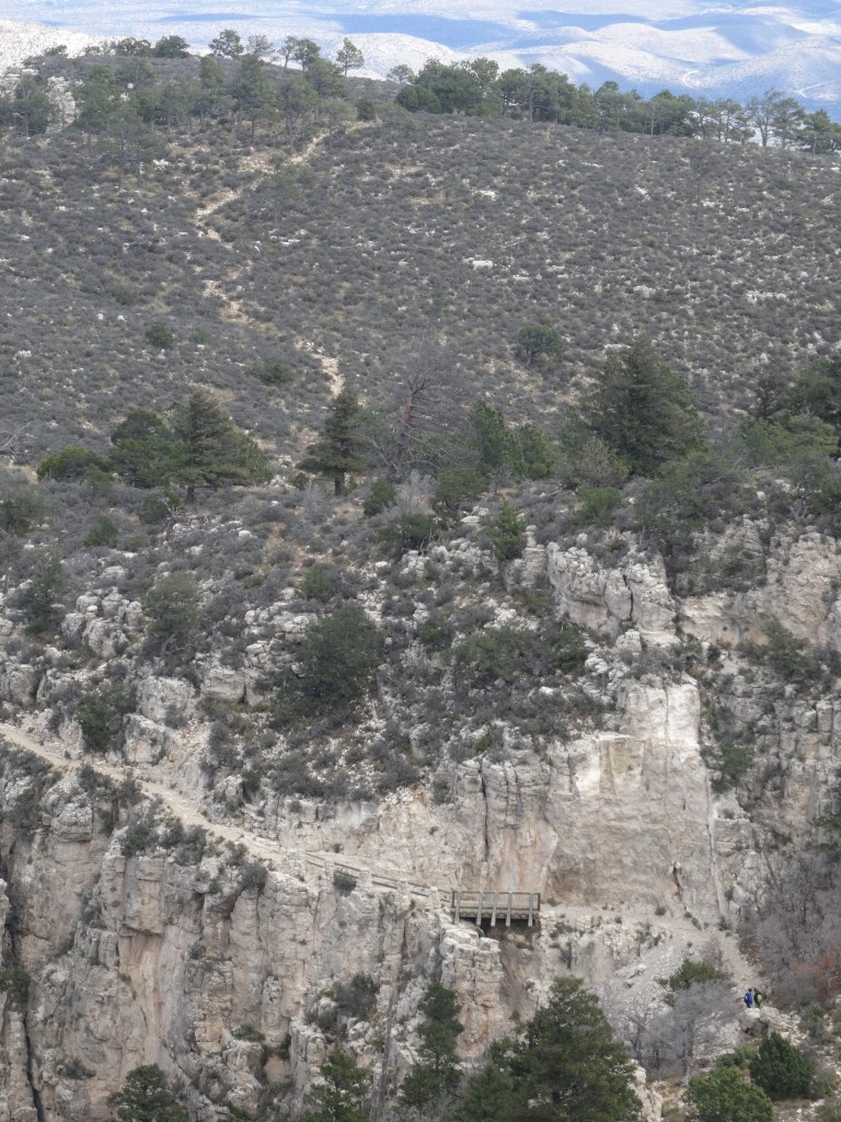
This last ¾ of a mile is not for the faint of heart. The switchbacks are sharp and studded with loose rocks, including enticing calcite crystals.
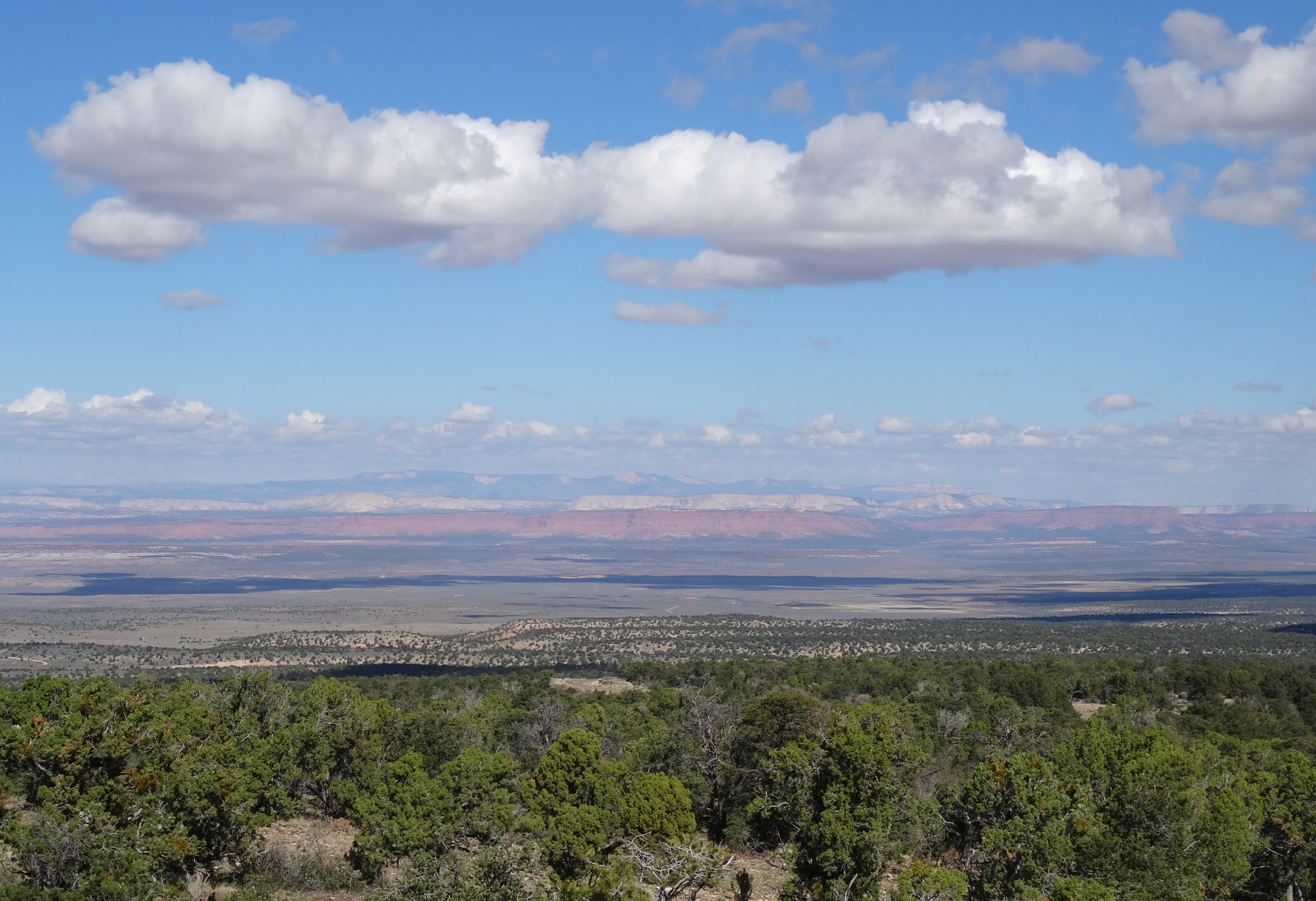
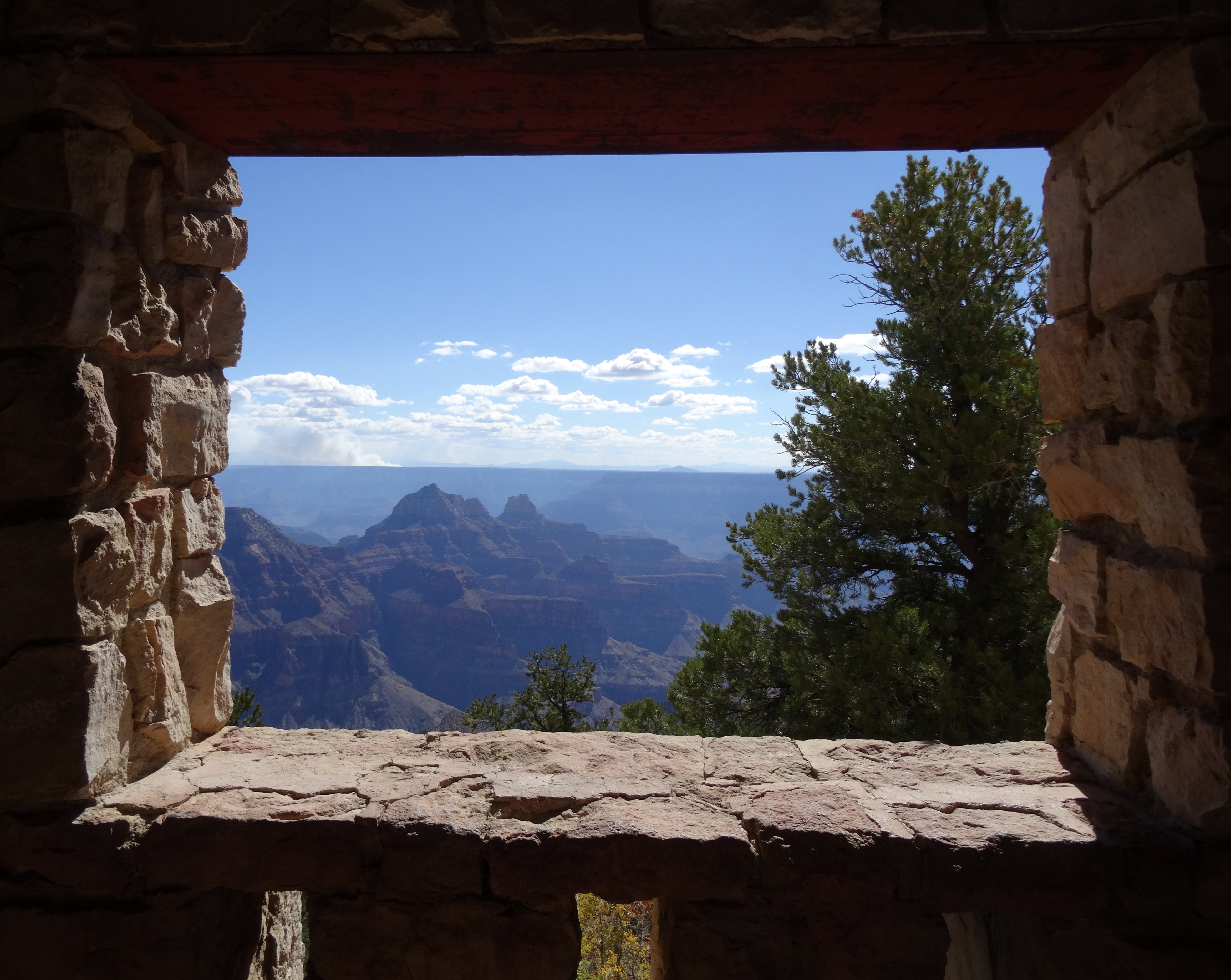
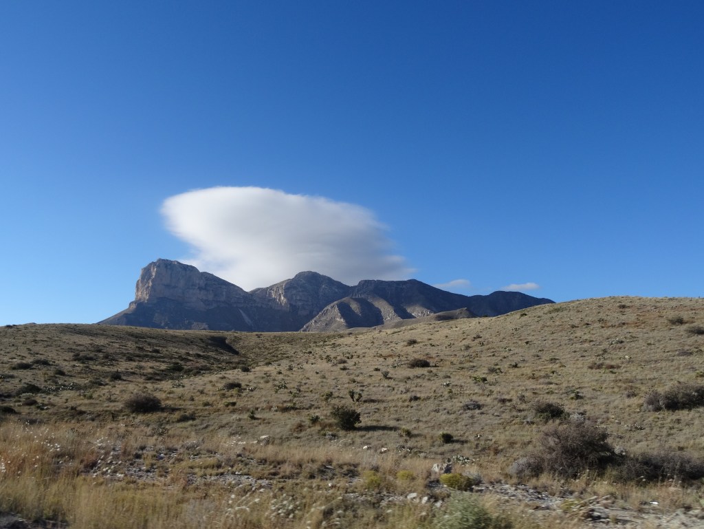
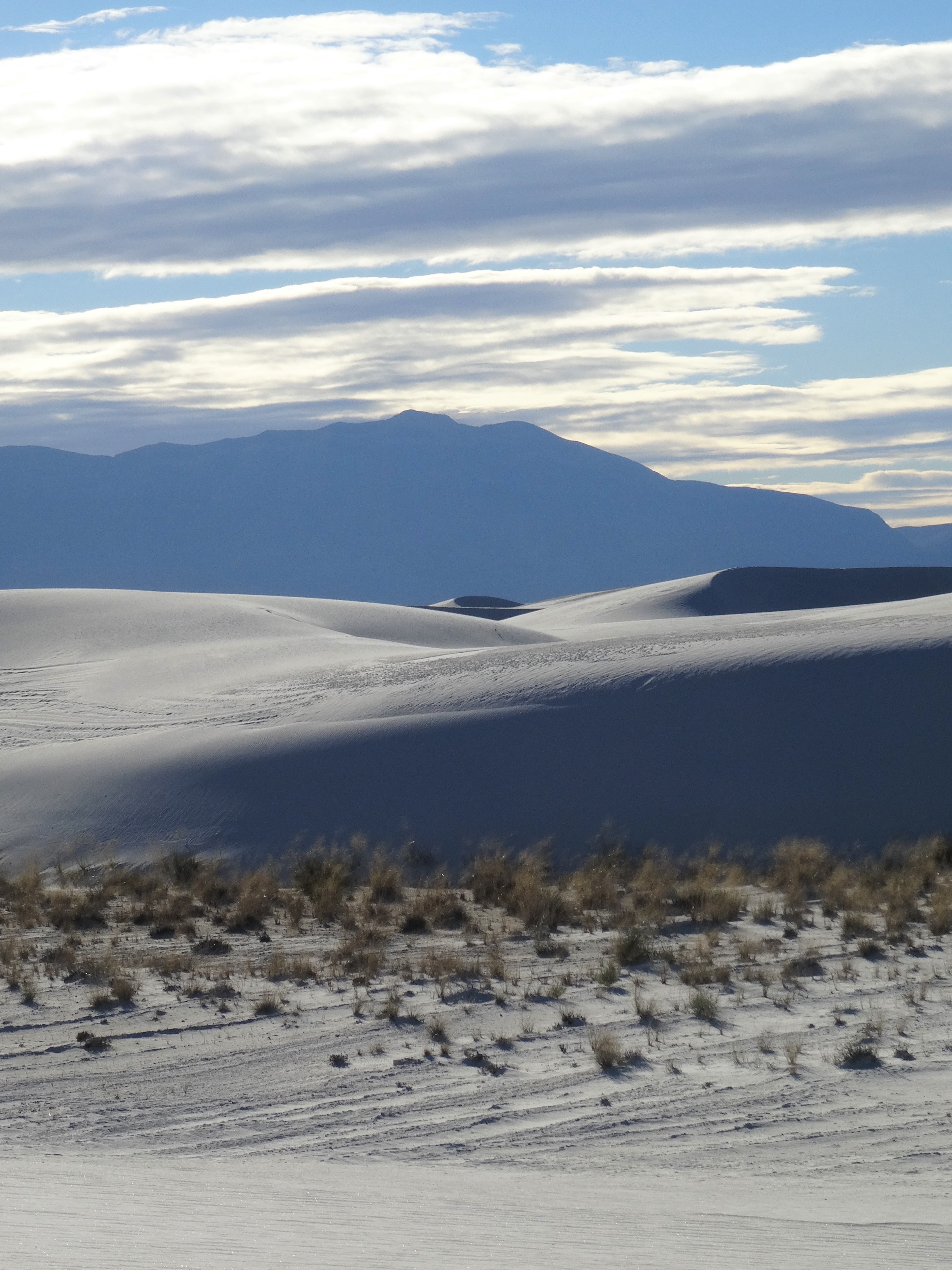
The reward for conquering the last series of switchbacks is the view. El Capitan rises up just beyond the trail, and the entire Trans Pecos region unfolds below it.
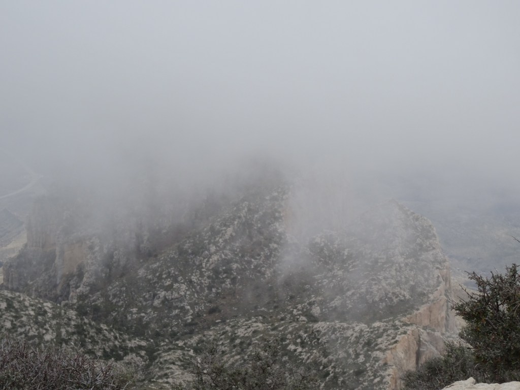
Except on this day, just as we reached the top of the ridge, a cloud settled over the mountain blocking the view.
The last tenth of a mile isn’t so obvious. The trail turns into solid rock that requires actual climbing, at times on hands and knees. (This isn’t mentioned in the hiking guide provided by the park service.)
It’s not a long climb, but to me, it was unnerving.

We were in a cloud fog – it was impossible to see surrounding dangers. The not knowing was terrifying.
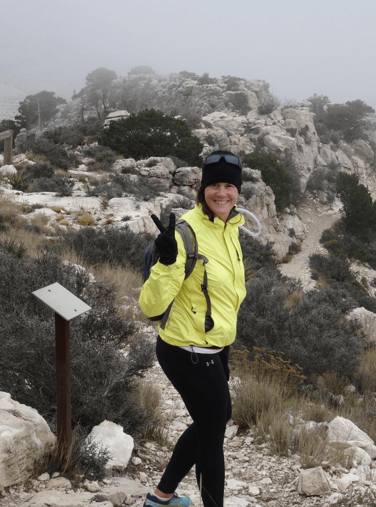
Reconnecting with an actual trail just below the summit, we were soon finally there… 8,750 feet over Texas.

Although shaking from the cold and fright, I felt a sense of accomplishment. The sense was stronger than any other hike on this trip; maybe because none were as perilous, or maybe because this hike marked the end of our trip.

Regardless, climbing to the top of Texas was a notable conclusion to an incredible six-months of non-stop adventures and travel around the beautiful United States.
In fact, we hiked up Guadalupe Peak again five years later (to the date) in celebration and appreciation of this amazing trip.


The Drive Home…


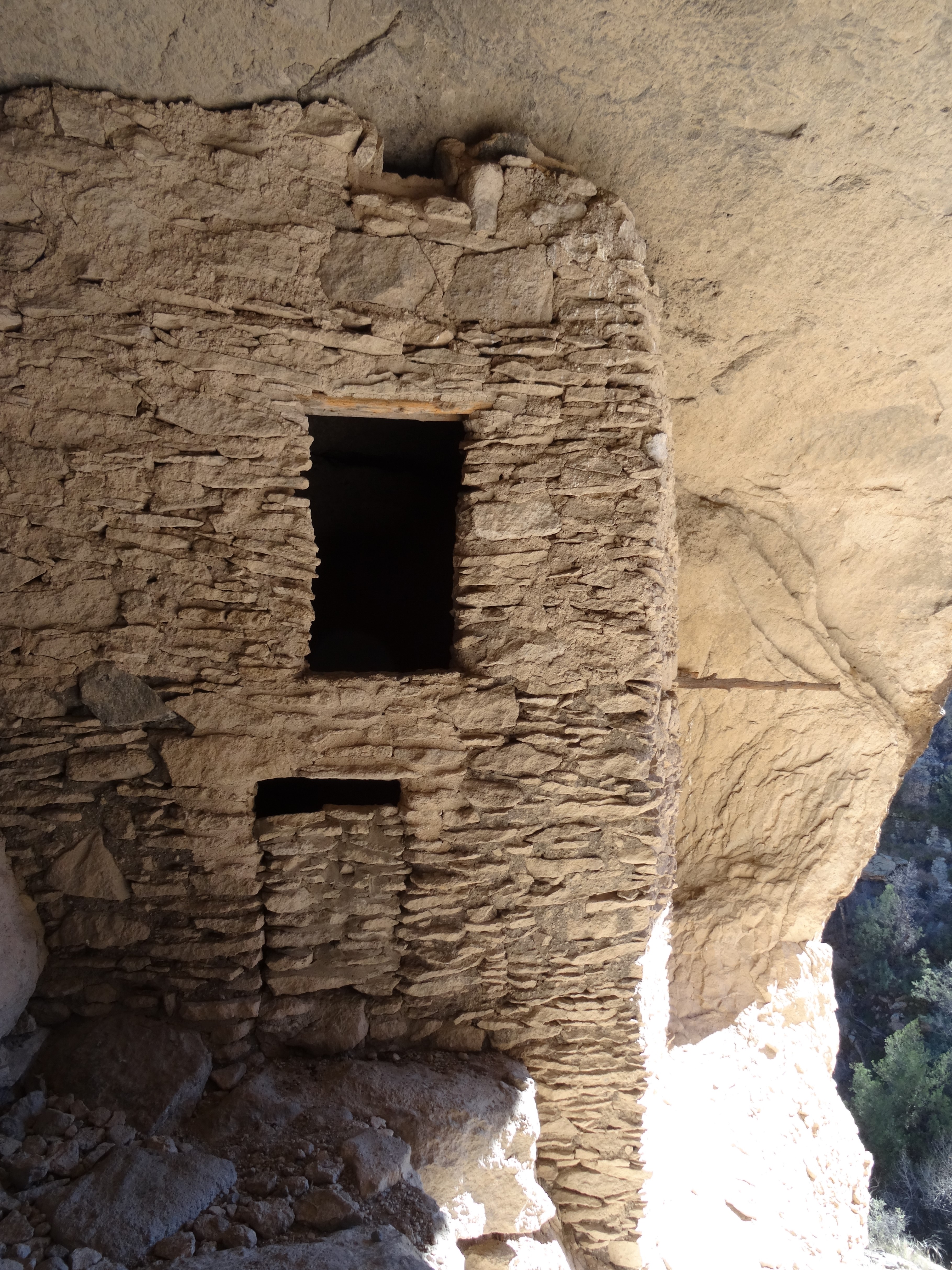
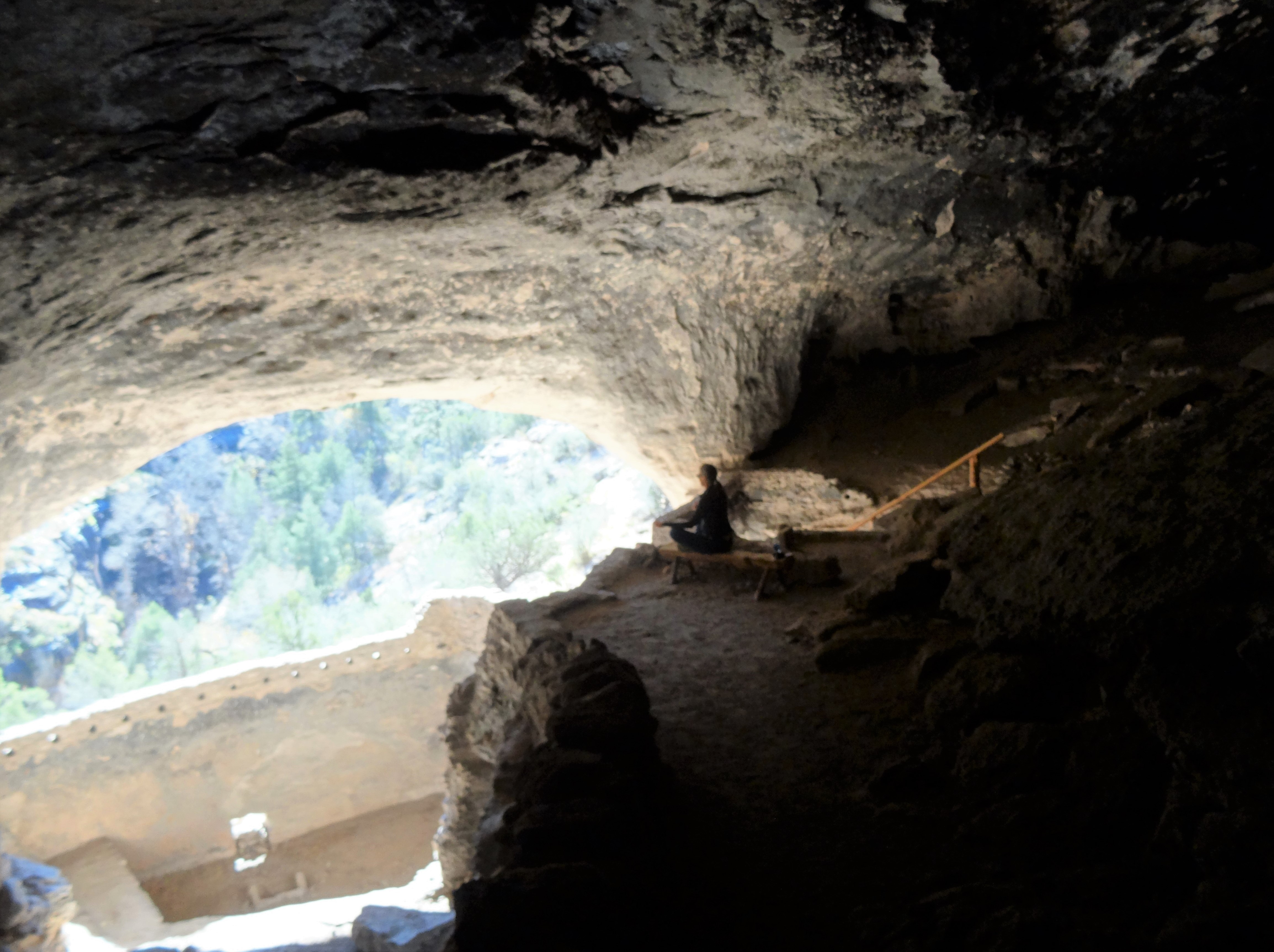
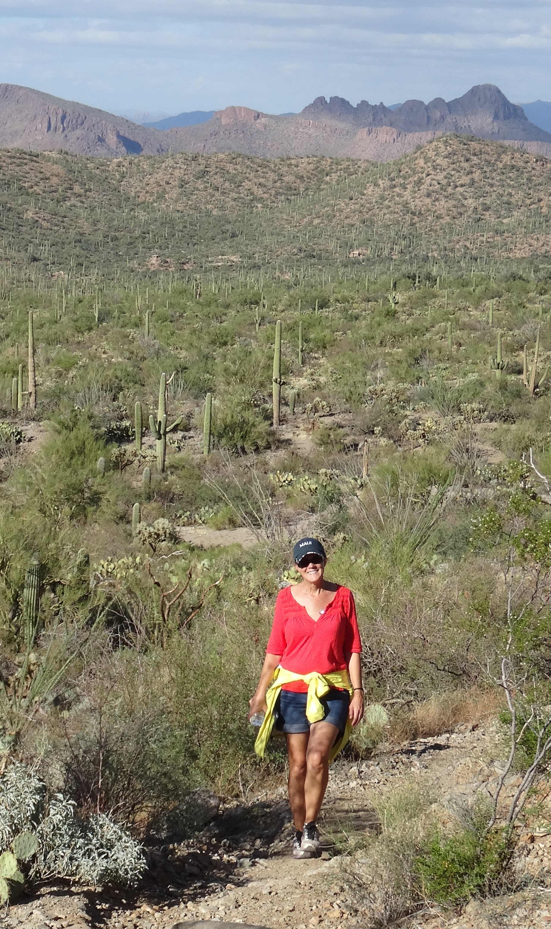
More pics…


The End


")

")